
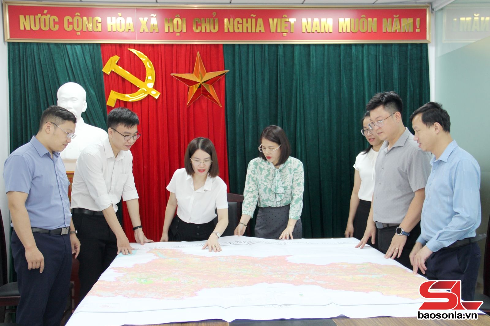
The Department of Agriculture and Environment has coordinated with the Joint Venture of Asia Planning and Technology Development Consulting Joint Stock Company, the Institute of Agricultural Planning and Design, the People's Committees of districts, cities, towns and related agencies and units to conduct the first investigation, assessment of soil pollution, and classification of agricultural land in the province.
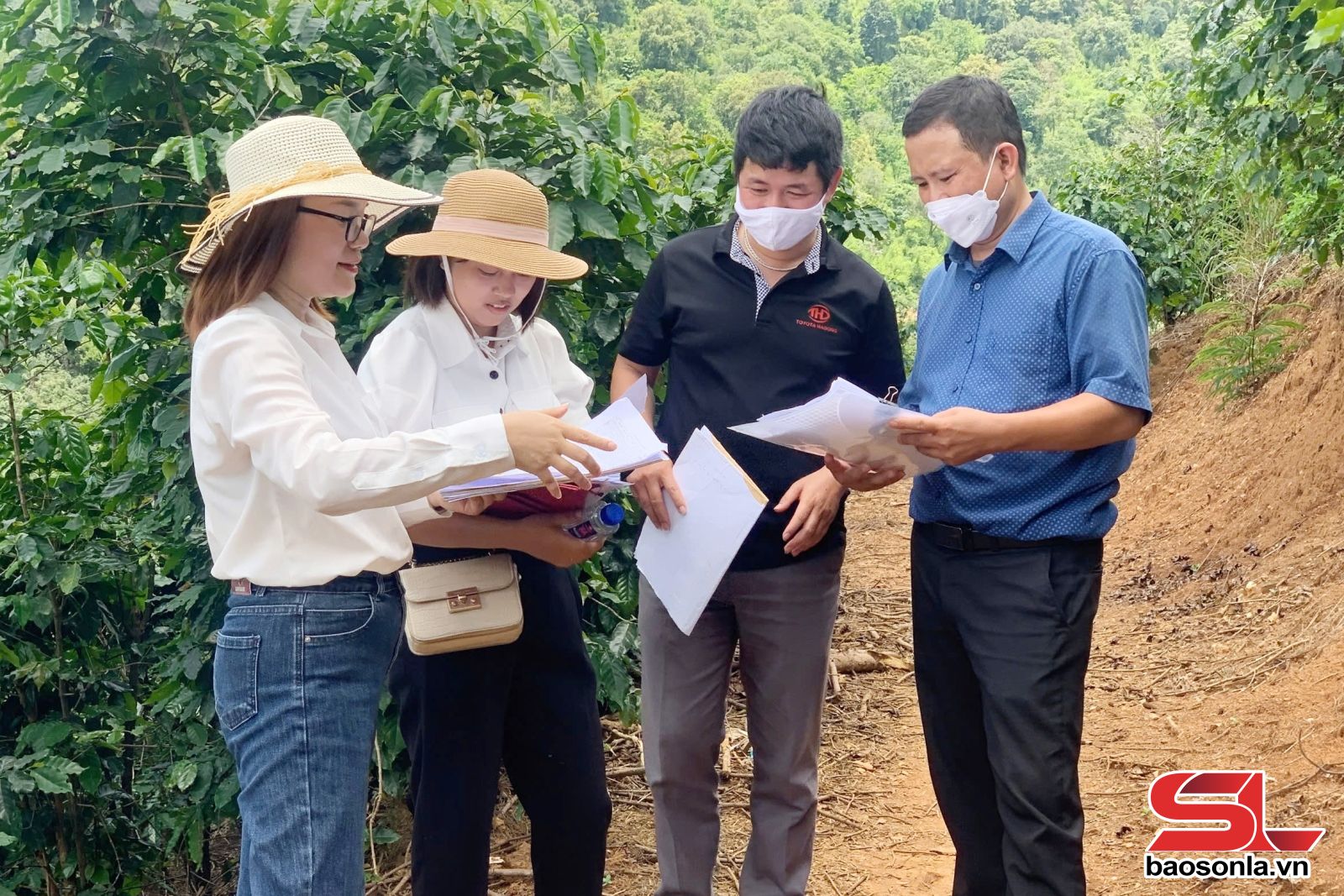
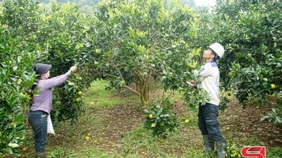
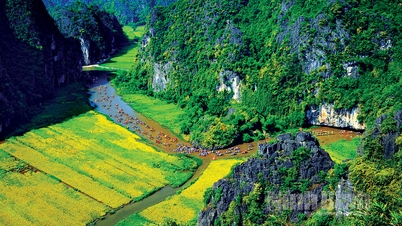
The subjects of investigation and assessment of soil pollution include land types in areas with pollution sources in the province, such as: Industrial zones and clusters; small-scale industrial zones and craft villages; mineral exploitation and processing areas; waste and garbage dumps; farming areas using a lot of inorganic fertilizers and pesticides; pesticide warehouses. The area investigated and classified for agricultural land in the province is 1,056,409 hectares.
On December 31, 2024, the Provincial People's Committee issued Decision No. 2916/QD-UBND on approving and announcing the results of the first investigation, assessment of soil pollution and classification of agricultural land in the province. The results of the first investigation, assessment of soil pollution and classification of agricultural land determined that there were more than 656 hectares of polluted land, accounting for 0.46% of the total natural area of the province. Of which, Mai Son is the district with the highest level of land pollution with more than 142 hectares, Moc Chau district with more than 130 hectares. Muong La district has the lowest level of land pollution with 3.56 hectares.
The area of near-pollution land is more than 117 hectares, of which Moc Chau is the district with the highest area of near-pollution land, more than 38 hectares; Mai Son is second with more than 32 hectares; Yen Chau district has the lowest area of near-pollution land, 4.76 hectares.
Ms. Nguyen Thanh Huyen, Head of the Land Resources Management Division, Department of Agriculture and Environment of the province, informed: The main sources of pollution for agricultural land in the province include: Industrial parks; craft villages; mineral exploitation and processing areas; waste and garbage dumps; pesticide warehouses; farming areas using a lot of inorganic fertilizers and pesticides.
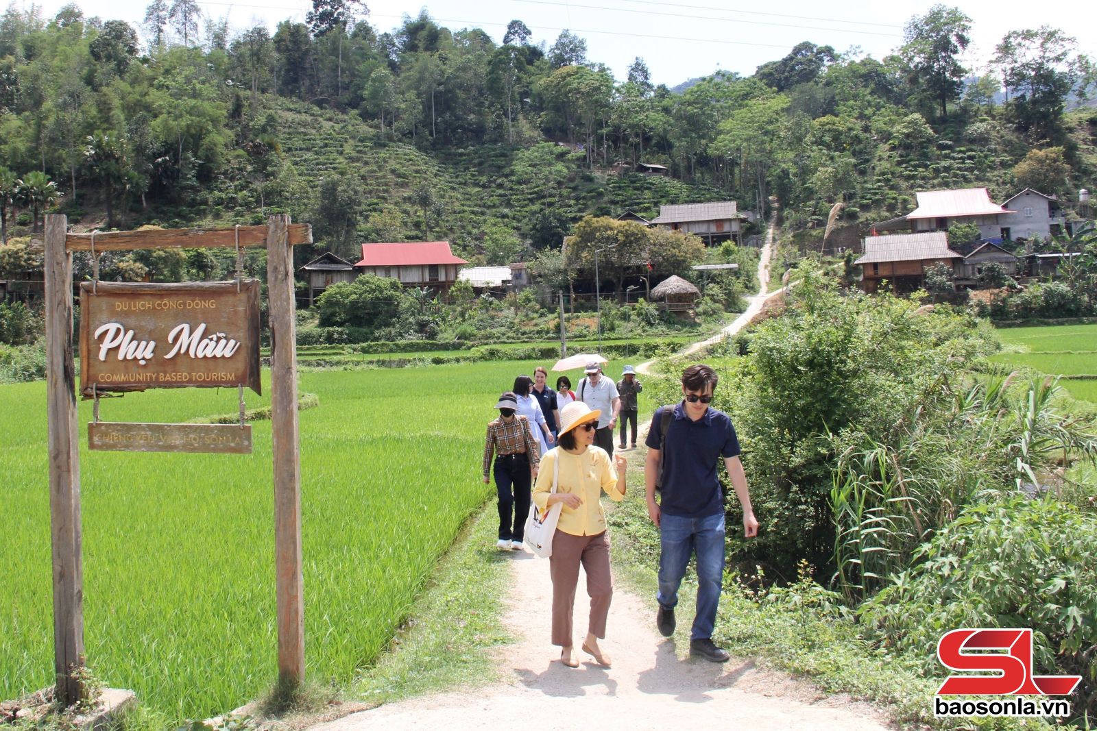
Also through the survey results, it was determined that the area that is very suitable and suitable for the current purpose of agricultural land use is 881,408 ha, accounting for 83.43% of the survey area; the area that is less suitable and not suitable is 175,001 ha, accounting for 16.57% of the survey area. Of which, the area of land that is very suitable and suitable for rice cultivation is nearly 15,000 ha. The area of land that is very suitable and suitable for growing other annual crops is more than 191,400 ha. The area of land that is very suitable and suitable for growing perennial crops is more than 43,200 ha.
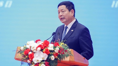
Mr. Phung Kim Son, Director of the Department of Agriculture and Environment, said: The project of Investigation, assessment of soil pollution and classification of agricultural land for the first time helps the province identify areas and areas of polluted land and land at risk of pollution; determine the distribution of agricultural land into land classes suitable for each specific purpose of use. From there, build a map of soil pollution, classify land; provide data to serve the conversion of crop structure, develop agriculture, improve the efficiency of sustainable land use, and protect the environment.
From the results of the investigation and land classification, the Project proposes groups of solutions. Specifically, for industrial areas, industrial production facilities need to develop focused industry, modern technology, and environmental friendliness. Promote in-depth industrial development, industries and products with high added value, towards green and sustainable industrial development.
Mineral exploitation and processing areas need to strengthen state management according to the provisions of law; implement planning and strategies on exploitation and sustainable use of mineral resources; exploit and process minerals with advanced technology in a cost-effective and efficient manner.
For landfill and waste treatment areas, it is necessary to strengthen management and support solid waste collection and transportation services in the province; renovate and upgrade unsanitary domestic waste landfills and areas polluted and degraded by solid waste.
Source: https://baosonla.vn/xa-hoi/quan-ly-bao-ve-moi-truong-dat-mQ7Mye1HR.html
![[Photo] Cultural, sports and media bloc at the 50th Anniversary of Southern Liberation and National Reunification Day](https://vphoto.vietnam.vn/thumb/1200x675/vietnam/resource/IMAGE/2025/4/30/8a22f876e8d24890be2ae3d88c9b201c)


![[Photo] The parade took to the streets, walking among the arms of tens of thousands of people.](https://vphoto.vietnam.vn/thumb/1200x675/vietnam/resource/IMAGE/2025/4/30/180ec64521094c87bdb5a983ff1a30a4)


![[Photo] Chinese, Lao, and Cambodian troops participate in the parade to celebrate the 50th anniversary of the Liberation of the South and National Reunification Day](https://vphoto.vietnam.vn/thumb/1200x675/vietnam/resource/IMAGE/2025/4/30/30d2204b414549cfb5dc784544a72dee)


Comment (0)