
The Hydrometeorological Agency said that currently, the cold air mass is moving downwards.
It is forecasted that from the afternoon and night of March 28, this cold air mass will affect the Northeast, North Central and some places in the Northwest, then affect other places in the Northwest and some places in the Central Central. Inland, the wind will gradually change to the Northeast, increasing to level 2-3, and coastal areas to level 3-4.
From the night of March 28, the weather in the North and North Central regions will turn cold. The lowest temperature in this cold air mass in the North is generally between 15-18 degrees Celsius, in mountainous areas below 13 degrees Celsius; in the North Central region, it is generally 17-19 degrees Celsius.
In Hanoi, from the night of March 28, the weather will turn cold. The lowest temperature in this cold air mass is commonly 16-18 degrees.
At sea, from the afternoon of March 28, in the Gulf of Tonkin, the wind will change direction to Northeast and gradually increase to level 6, gusting to level 7-8, rough sea, waves 2.0-3.0m high.
From the night of March 28, the sea area north of the North East Sea will have strong northeast winds at level 6, sometimes level 7, gusting to level 8, rough seas, waves 3.0-5.0m high.
Due to the influence of cold air, from the night of March 28, the mountainous areas of the North and North Central regions will have scattered showers and thunderstorms in some places.
Thunderstorms may produce tornadoes, lightning, hail and strong winds.
Source: https://baophapluat.vn/mien-bac-sap-don-khong-khi-lanh-nhet-do-thap-nhat-co-noi-duoi-13-do-c-post543648.html

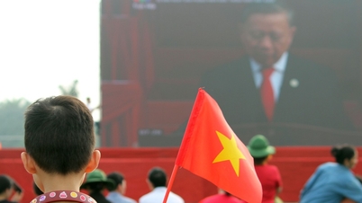
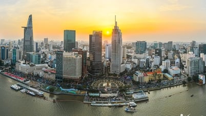
![[Photo] Panorama of the parade celebrating the 50th anniversary of the Liberation of the South and National Reunification](https://vphoto.vietnam.vn/thumb/1200x675/vietnam/resource/IMAGE/2025/4/30/affbd72e439d4362962babbf222ffb8b)
![[Photo] "King Cobra" Su-30MK2 completed its glorious mission on April 30](https://vphoto.vietnam.vn/thumb/1200x675/vietnam/resource/IMAGE/2025/4/30/5724b5c99b7a40db81aa7c418523defe)
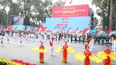
![[Photo] Mass parade to celebrate 50 years of national reunification](https://vphoto.vietnam.vn/thumb/1200x675/vietnam/resource/IMAGE/2025/4/30/825e459ee2f54d85b3a134cdcda46e0d)

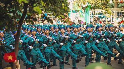
![[Photo] The parade took to the streets, walking among the arms of tens of thousands of people.](https://vphoto.vietnam.vn/thumb/1200x675/vietnam/resource/IMAGE/2025/4/30/180ec64521094c87bdb5a983ff1a30a4)


![[Photo] Soldiers work through the holidays to help people build houses in Sang Ma Sao](https://vphoto.vietnam.vn/thumb/402x226/vietnam/resource/IMAGE/2025/4/30/717906518e374fbeb2001b711cc964e6)


Comment (0)