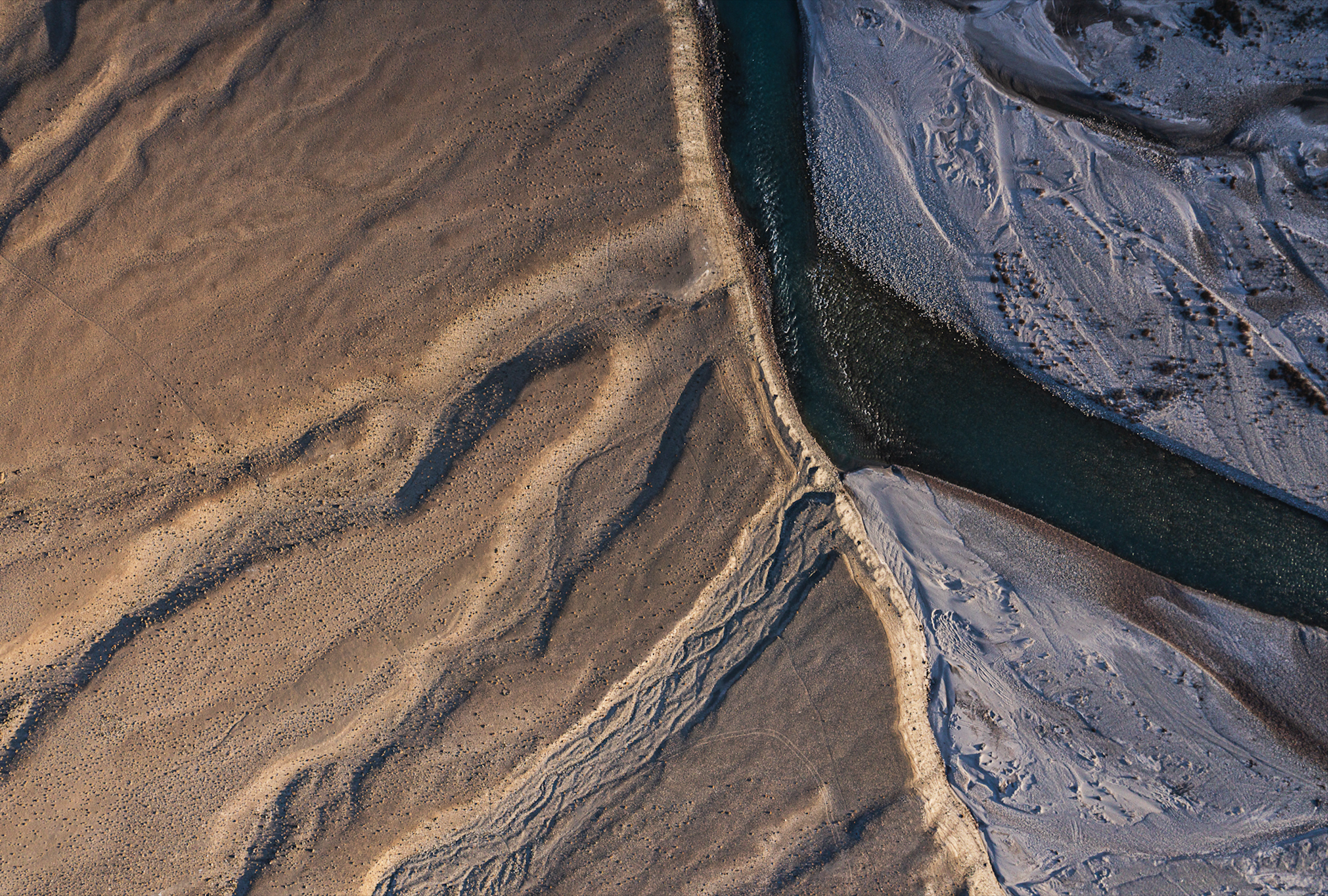
Google has just announced a large-scale artificial intelligence (AI) model called AlphaEarth Foundations, which can map the world at any location and time by synthesizing trillions of observations - including satellite images, radar and maps - to track changes on land and shallow waters globally.
At a press conference on July 28, research engineer Christopher Brown (Google DeepMind, New York) said that this tool can help scientists identify suitable locations for clean energy projects, study the ecological impacts of climate change, monitor deforestation and many other applications.
A paper detailing the model construction, initial experiments, and baseline dataset (2017-2024) has been published on arXiv.
Google claims AlphaEarth has superior accuracy and data density compared to similar AI models, while also saving processing time and reducing energy consumption.
Nicholas Murray, a conservation biologist at James Cook University in Australia, said his team typically spends “tens to hundreds of days” processing satellite data before they can produce maps — such as depicting how tidal wetlands have changed over time — and he hopes AlphaEarth will help speed up the process significantly.
Google said AlphaEarth's data will be updated periodically and made available in fully processed form through its Earth Engine platform — its cloud computing system that already integrates many datasets on agriculture , deforestation and weather.
AlphaEarth will connect these data sources to create a unified product that is easier for users to exploit.
Each data point is packaged as a 10-meter square, covering the entire land and coastal surface of the Earth, allowing AlphaEarth to create a more consistent, detailed, and comprehensive picture of the planet’s transformation.
This AI model converts satellite data — like color, clouds, terrain — into digital representations, making it easy for users to search for features like tree types, buildings, or groundwater.
“The scale of the project is unprecedented,” said Stanford University professor Solomon Hsiang, co-founder of a rival AI model called MOSAIKS. “I really appreciate the effort of the development team.”
However, he also noted that the existing literature is not sufficient to clearly evaluate the effectiveness of AlphaEarth compared to other models and called on Google to release more experimental data so that the scientific community can verify and continue to develop.
Google claims it has provided enough information for scientists to evaluate the model’s performance. However, many experts note that it will still be up to researchers to verify and identify the limitations of the tool when applying it to specific fields./.
Source: https://www.vietnamplus.vn/google-ra-mat-mo-hinh-ai-lap-ban-do-trai-dat-moi-noi-moi-luc-post1053406.vnp









![[Photo] An Phu intersection project connecting Ho Chi Minh City-Long Thanh-Dau Giay expressway behind schedule](https://vstatic.vietnam.vn/vietnam/resource/IMAGE/2025/8/21/1ad80e9dd8944150bb72e6c49ecc7e08)









![[Photo] Politburo works with the Standing Committee of Hanoi Party Committee and Ho Chi Minh City Party Committee](https://vstatic.vietnam.vn/vietnam/resource/IMAGE/2025/8/21/4f3460337a6045e7847d50d38704355d)






Comment (0)