On the afternoon of October 25, the Ministry of Agriculture and Rural Development held a direct and online meeting with 19 provinces and cities to deploy response to storm No. 6 (storm Tra Mi).
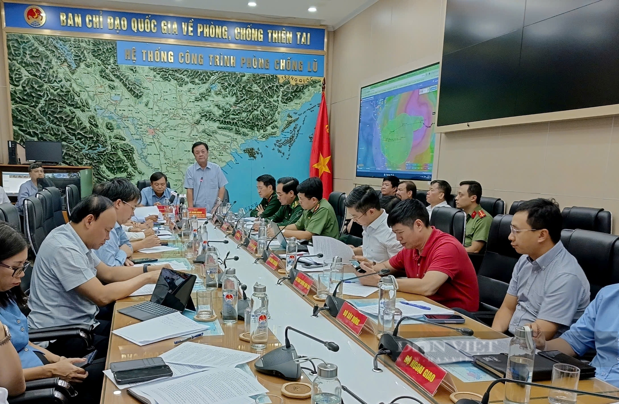
On the afternoon of October 25, the Ministry of Agriculture and Rural Development held a direct and online meeting with 19 provinces and cities to deploy responses to storm No. 6 (storm Tra Mi). Photo: TQ
Storm No. 6 causes heavy rain
According to Mr. Vu Van Thanh - Deputy Director of the Department of Dyke Management and Natural Disaster Prevention and Control (Ministry of Agriculture and Rural Development), on the morning of October 22, the tropical depression east of the Philippines strengthened into a storm (international name: TRAMI); on the afternoon of October 24, storm TRAMI entered the eastern sea of the North East Sea and became storm number 6 in 2024.
At 1:00 p.m. on October 25, the center of the storm was at about 17.6 degrees North latitude; 117.3 degrees East longitude, 560 km East Northeast of Hoang Sa archipelago, wind force level 10, gust level 12, moving in the West Northwest direction, speed 15-20 km/h.
It is forecasted that at 1pm on October 26, the storm will reach its strongest intensity of level 11-12, gusting to level 15, in the waters of the Hoang Sa archipelago. By 1pm on October 27, the storm will be in the western area of the Hoang Sa archipelago, about 180km from Quang Tri - Quang Ngai, with an intensity of level 10-11, gusting to level 14. By dawn on October 28, the storm will change direction to East-Southeast in the waters off the Central Central Coast with an intensity of level 10, gusting to level 12; then move east and continue to weaken.
Dangerous areas in the next 24 hours: From latitude 15.0 - 20.0 degrees North; east of longitude 110.5 degrees East. Tide: Highest is 1.3m from 20-22:00 on October 27 and lowest is 0.8m from 13-14:00 on October 28.
From the evening and night of October 26 to October 28, from Quang Tri to Quang Ngai, there will be widespread rain from 300-500mm, locally over 700mm, warning of the risk of local heavy rain over 100mm/3 hours; from Ha Tinh, Quang Binh, Binh Dinh and the Northern Central Highlands, there will be widespread rain from 100-200mm, locally over 300mm.
According to the report of the Border Guard Command, 67,212 vehicles/307,822 people have been counted and instructed on the developments and direction of the storm, including 35 ships/184 people (Quang Ngai) operating in the North East Sea and Hoang Sa archipelago; currently there are no vehicles in the danger zone, the vehicles in the affected area are moving to avoid it.
According to the report of the Department of Fisheries, the total aquaculture area in coastal provinces from Quang Ninh to Binh Thuan is 110,625 hectares (22,445 hectares of brackish water shrimp farming, 9,644 hectares of tidal mollusk farming, 78,536 hectares of freshwater aquaculture); 119,356 cages; 1,929 aquaculture watchtowers.
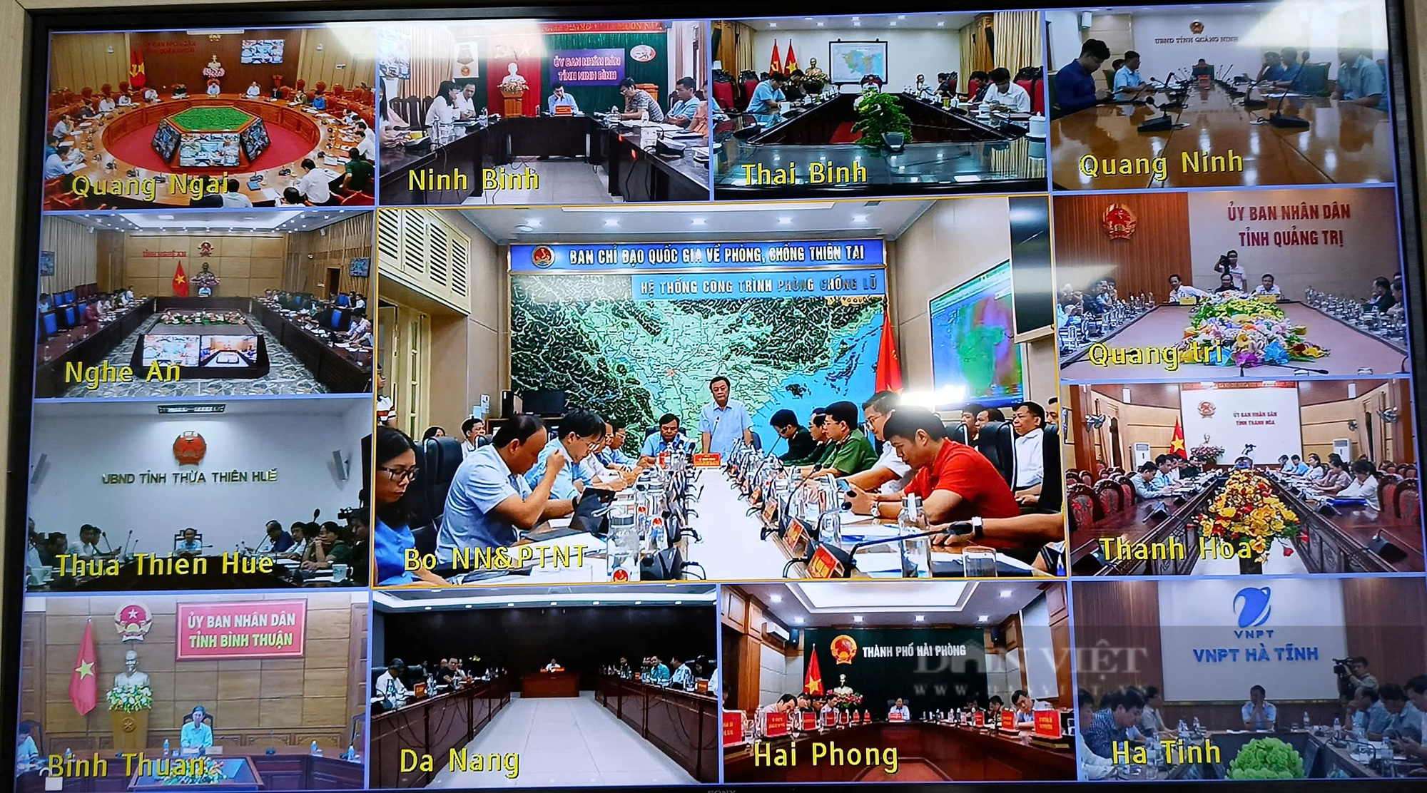
Overview of the online meeting on storm prevention No. 6. Screenshot
Mobilizing the whole community to prevent storm number 6
Mr. Ho Quang Buu - Vice Chairman of Quang Nam Provincial People's Committee said: Up to now, the province has been very proactive and has connected with districts, cities and communes to organize meetings to implement tasks to prevent and combat storm No. 6 (storm Tra Mi).
To avoid complacency before the storm, Mr. Buu said that the province has organized various forms of propaganda. Since October 25, the province's working groups have visited localities and reviewed the "4 on-site" work... At the same time, they have organized and supervised inspections from hamlets to communes and districts... regularly reporting to the provincial Steering Committee.
According to Mr. Buu, the province has prepared a scenario for the evacuation of 18 districts and towns with 200,000 people. With the super storm scenario, the province is also preparing a scenario for the evacuation of nearly 400,000 people...
Deputy Minister of Agriculture and Rural Development Nguyen Hoang Hiep said that storm No. 6 (Tra Mi storm) is the first storm to make landfall in the Central region. According to our assessment, the storm will not make landfall, but when it reaches the coast, it will turn around and may form a new storm at sea.
Accordingly, Deputy Minister Hiep requested localities to strengthen propaganda work so that people and boat owners have plans to safely prevent and combat storm No. 6.
In particular, Deputy Minister Hiep warned that storm No. 6 will cause very heavy rains in the central coastal provinces. "Storm Tra Mi is likely to cause the second largest flood this year in the central region (after the flood caused by storm No. 3), so localities need to have plans to prevent, combat and respond effectively," said the Deputy Minister of Agriculture and Rural Development.
According to Deputy Minister Hiep, although storm No. 6 is not forecast to be strong, only level 10-11, the wind will linger for a long time, so coastal provinces with tourist sand beaches may cause coastal erosion.
Learning from previous storms, the Deputy Minister of Agriculture and Rural Development suggested that provinces and cities, when calling on boats to enter safe storm shelters, should carefully and safely anchor and anchor. Avoid anchoring boats carelessly, as when the storm hits, it will still cause consequences and heavy damage.
According to the scenario when storm No. 6 enters the coast, it will turn out to sea and may form a new storm, so the Deputy Minister of Agriculture and Rural Development suggested that the Central provinces need to increase propaganda and ban the sea longer to prevent ship and boat owners from turning out to sea early and encountering danger.
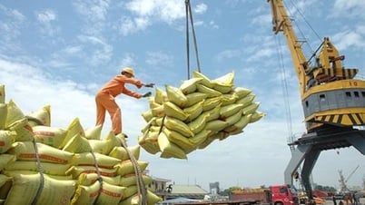
Regarding the progress of the winter-spring rice harvest, the South Central region from Da Nang to Phu Yen has harvested 45,424ha/116,677ha; there are still 71,253ha unharvested. The Deputy Minister of Agriculture and Rural Development requested that the provinces quickly harvest by Sunday (October 27) to avoid being affected by the storm.
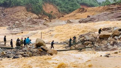
Regarding the plan to evacuate people, Deputy Minister Nguyen Hoang Hiep said: Learning from the experience of storm No. 3, in Lao Cai, the head of Kho Vang village called for and rescued many people after landslides. From the scenario of heavy rain in storm No. 6, we must proactively evacuate people early and from a distance. From the heads and deputy heads of villages in the areas affected by the storm, we must proactively evacuate people when there is danger and risk of landslides after heavy rain.
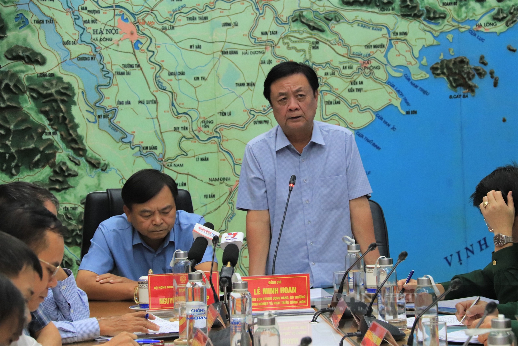
Minister of Agriculture and Rural Development Le Minh Hoan said that we need to develop a scenario for the community to proactively take responsibility for preventing storm No. 6. Photo: TQ
Speaking at an online meeting, Minister of Agriculture and Rural Development Le Minh Hoan requested that localities prepare two evacuation scenarios to prevent all possible situations caused by storm No. 6.
Minister Le Minh Hoan suggested that the Ministry of National Defense should expand the flycam system to check and monitor landslide sites to warn and have plans to evacuate people when there is a high risk of landslides.
"Each unit must prepare plans and scenarios to prevent and combat storms and post-storm circulation. At the same time, we must have scenarios for the community to take responsibility for storm prevention and combat, similar to the experience from storm No. 3 in Lao Cai," said the Minister of Agriculture and Rural Development.
As the first storm to affect the Central region, its path and developments are still complicated, and it may cause heavy rain in the coming days. To be ready to respond to storms and floods caused by the storm's circulation, ministries, branches and localities are focusing on implementing Official Dispatch No. 110/CD-TTg dated October 24, 2024 of the Prime Minister and dispatches of the Ministry of Agriculture and Rural Development with the following contents:
1. For sea and islands:
- Organize inspection, counting, proactively inform and guide vehicles and boats (including fishing boats, transport ships, and tourist boats) still operating at sea to know not to enter dangerous areas or to return to safe shelters, especially information about storms changing direction; organize arrangements to ensure safety for boats at anchorage areas.
- Review and implement measures to ensure safety for tourism, aquaculture and fishing activities at sea, estuaries and coastal areas; harvest early products that are ready for harvest; resolutely evacuate people on cages and aquaculture huts to safe places before the storm directly affects them.
- Based on specific situations, proactively decide on sea bans for fishing vessels, transport vessels, and tourist vessels.
2. For coastal and inland:
- Check and be ready to evacuate people from dangerous areas, especially those at risk of deep flooding, landslides, river mouths, and coastal areas.
- Organize reinforcement and bracing of houses, warehouses, signs, headquarters, public works, industrial parks, factories; prune tree branches; prepare plans to protect dikes, agricultural production, and prevent flooding in urban areas and industrial parks.
- Control traffic, organize traffic flow, guide traffic, limit people from going out during storms and heavy rains to ensure safety.
- Focus on harvesting the Winter-Spring rice area that is ready for harvest.
3. For mountainous areas:
- Review and be ready to evacuate people in areas at risk of deep flooding, flash floods, and landslides; prepare forces, vehicles, equipment, and necessities according to the "four on-site" motto to be ready to respond to all situations.
- Check and proactively take measures to ensure safety of reservoirs and downstream areas; arrange permanent forces ready to operate, regulate and handle situations.
- Control and guide safe traffic, especially through tunnels, overflows, deep flooded areas, and fast-flowing water; proactively arrange forces, materials, and means to overcome incidents, ensuring smooth traffic on main traffic routes.
- Prepare forces and means to promptly rescue and quickly overcome the consequences of storms and floods./.
Source: https://danviet.vn/lay-bai-hoc-tu-thon-kho-vang-o-lao-cai-lanh-dao-bo-nnptnt-keu-goi-ca-cong-dong-phong-chong-bao-tra-mi-20241025155200991.htm


![[Photo] President Luong Cuong presided over the welcoming ceremony and held talks with Sri Lankan President Anura Kumara Dissanayaka](https://vphoto.vietnam.vn/thumb/1200x675/vietnam/resource/IMAGE/2025/5/5/bbb34e48c0194f2e81f59748df3f21c7)


![[Photo] Solemn opening of the 9th Session, 15th National Assembly](https://vphoto.vietnam.vn/thumb/1200x675/vietnam/resource/IMAGE/2025/5/5/ad3b9de4debc46efb4a0e04db0295ad8)












![[Photo] National Assembly delegates visit President Ho Chi Minh's Mausoleum](https://vphoto.vietnam.vn/thumb/1200x675/vietnam/resource/IMAGE/2025/5/5/9c1b8b0a0c264b84a43b60d30df48f75)




















Comment (0)