

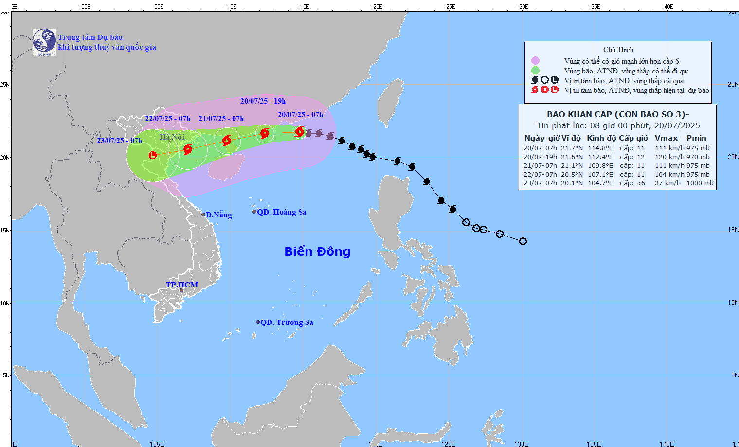
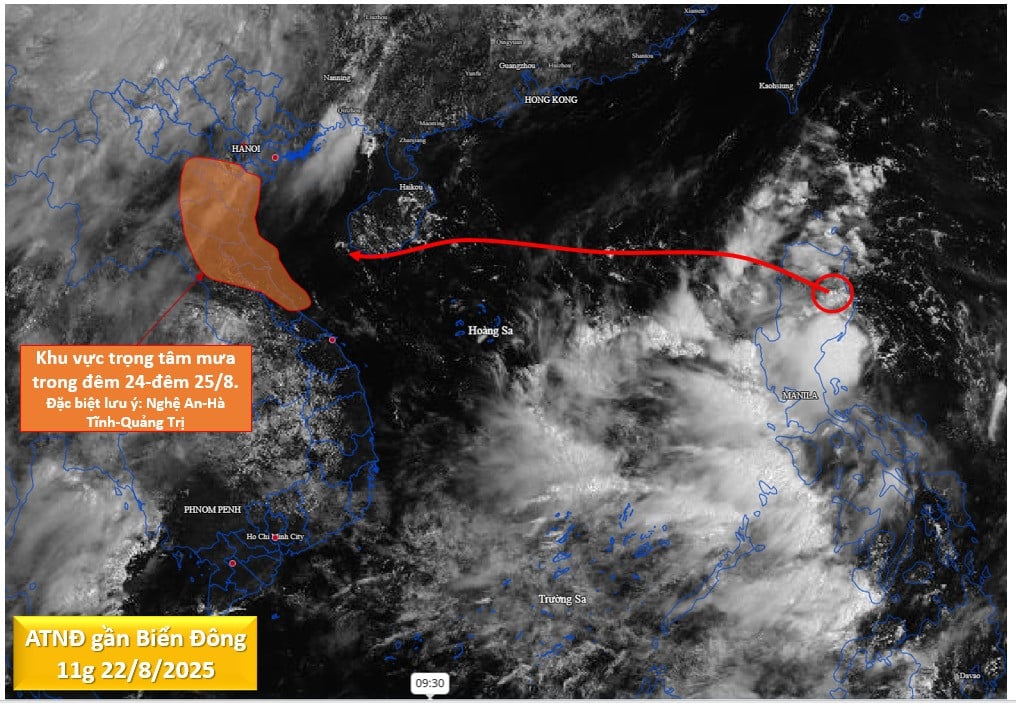
According to the National Center for Hydro-Meteorological Forecasting, the strongest wind near the storm's center is level 11 (103-117km/h), gusting to level 14; moving in the West-Northwest direction at a speed of about 20-25km/h.
Forecast of storm impact, the northern sea area of the North East Sea has strong winds of level 8-10, near the storm's eye, level 11-12, gusting to level 15; waves 5-7m high. The sea is very rough.
From the night of July 20, the northern sea area of Bac Bo Gulf (including Bach Long Vi, Co To, Cat Hai special zones) will have winds gradually increasing to level 6-7, then increasing to level 8-9, near the storm's eye level 10-11, gusting to level 14; waves 2-4m high, near the eye 3-5m. The sea will be very rough.
From July 21, the sea in the southern Gulf of Tonkin will have winds gradually increasing to level 6-7, near the storm center level 8-9, gusting to level 11, waves 2-4m high. The sea is very rough.
Ships operating in the above mentioned dangerous areas are likely to be affected by storms, whirlwinds, strong winds and large waves.
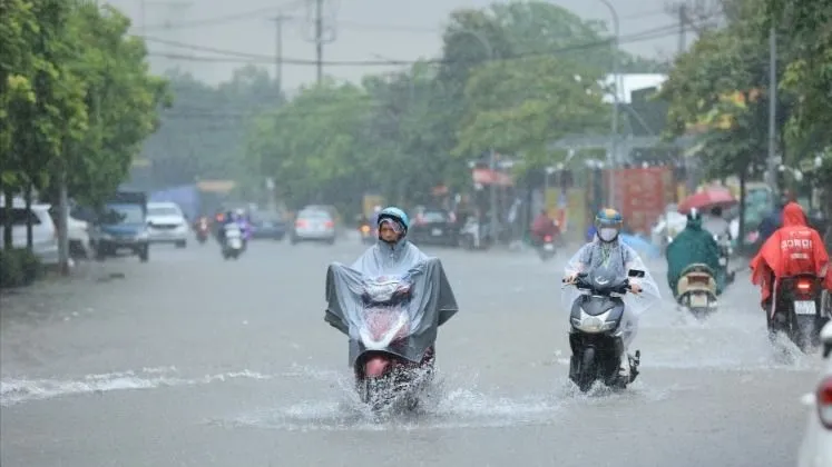
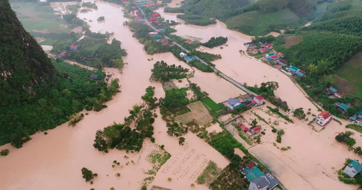
The coastal areas of Hai Phong - Quang Ninh have storm surges of 0.5-1m high, the water level at Hon Dau (Hai Phong) is 3.8-4.1m high, at Cua Ong (Quang Ninh) is 4.8-5.2m high. There is a high risk of flooding in low-lying coastal and river mouth areas at noon and afternoon on July 22.
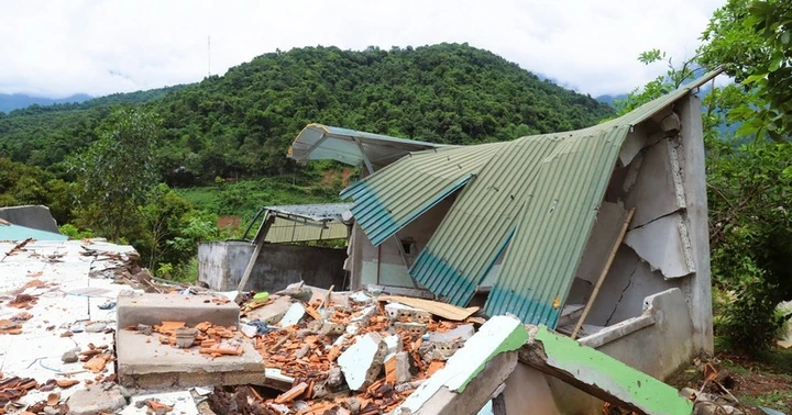
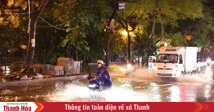
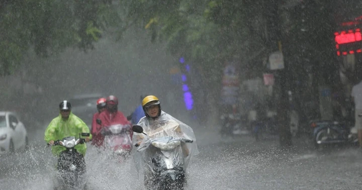
On land, from the evening and night of July 21, the wind from Quang Ninh to Thanh Hoa will gradually increase to level 7-9, gusting to level 10-11; further inland, the wind will increase to level 6-7, gusting to level 8-9; near the storm center, the wind will increase to level 10-11, gusting to level 14.
From July 21 to July 23, in the Northern and North Central regions, there is a possibility of widespread heavy rain with common rainfall of 100-200mm, locally over 300mm; in the Northeast, Northern Delta, Thanh Hoa and Nghe An, there will be heavy to very heavy rain with common rainfall of 200-350mm, locally over 600mm. Warning of the risk of heavy rain over 150mm/3 hours.
Source: https://www.sggp.org.vn/bao-so-3-whipa-bien-dong-manh-song-cao-5-7m-post804563.html

![[Photo] President Luong Cuong receives delegation of the Youth Committee of the Liberal Democratic Party of Japan](https://vstatic.vietnam.vn/vietnam/resource/IMAGE/2025/8/22/2632d7f5cf4f4a8e90ce5f5e1989194a)
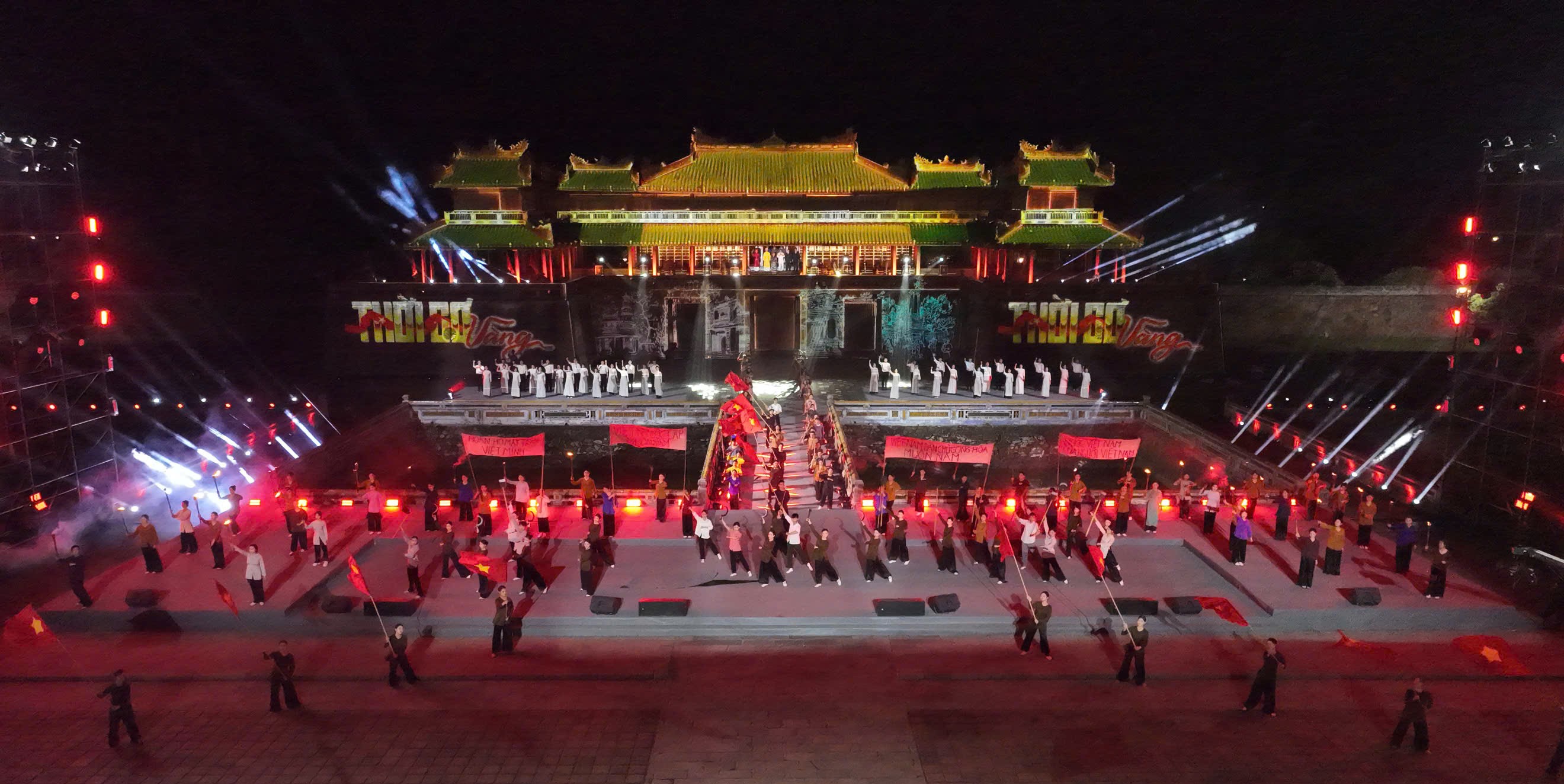
![[Photo] President Luong Cuong attends special political-artistic television show "Golden Opportunity"](https://vstatic.vietnam.vn/vietnam/resource/IMAGE/2025/8/22/44ca13c28fa7476796f9aa3618ff74c4)
![[Photo] Prime Minister Pham Minh Chinh chairs the conference to review the 2024-2025 school year and deploy tasks for the 2025-2026 school year.](https://vstatic.vietnam.vn/vietnam/resource/IMAGE/2025/8/22/2ca5ed79ce6a46a1ac7706a42cefafae)


Comment (0)