
According to the National Center for Hydro-Meteorological Forecasting, as of 7:00 p.m. tonight (December 22), the center of the tropical depression was located at about 9.5 degrees North latitude; 114.3 degrees East longitude, in the Truong Sa archipelago. The strongest wind near the center of the tropical depression is level 7 (50-61 km/h), gusting to level 9; moving north at a speed of 20-25 km/h.
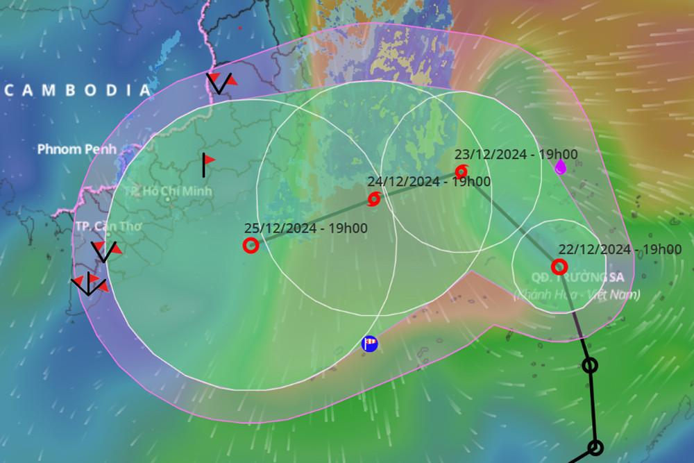
In the next 24 hours, the tropical depression will change direction to the North-Northwest, slowing down to 15km/h, and is likely to strengthen into a storm. At 7:00 p.m. on December 23, the storm's eye will be located in the southwestern sea area of the Central East Sea. This is likely to be the 10th storm in the East Sea in 2024. The strongest wind near the storm's eye is level 8, gusting to level 10.
It is forecasted that in the next 24 hours, the storm will continue to change direction to West Southwest, moving slowly at a speed of about 5-10 km/h. At 7:00 p.m. on December 24, the center of the storm will still be in the southwest sea area of the Central East Sea; at the same time, it will maintain its level 8 intensity.
Over the next 48 to 72 hours, the storm will move west-southwest at about 10km per hour and gradually weaken into a tropical depression.
The impact of the tropical depression later strengthened into a storm, the South East Sea area (including the Truong Sa archipelago) and the sea southwest of the central East Sea had strong winds of level 6-7, the area near the storm's center had strong winds of level 8, gusts of level 10, waves 4-6m high, rough seas.
Thus, compared to initial assessments, the storm is operating at a lower latitude, and the area of influence is wider in the Southern region.
Due to the storm's influence, from the night of December 23 to December 24, the area from Da Nang to Khanh Hoa will have moderate rain, heavy rain, locally very heavy rain and thunderstorms with common rainfall from 30-80mm, in some places over 200mm.
Early morning and on December 24, the Eastern Central Highlands region will have moderate rain, heavy rain, locally very heavy rain and thunderstorms with common rainfall from 15-40mm, some places over 70mm.
It is forecasted that on the night of December 24 and the day of December 25, the Central and South Central regions and the Eastern Central Highlands will continue to have moderate rain, heavy rain, locally very heavy rain and thunderstorms with common rainfall of 50-100mm, locally over 200mm, especially in the Eastern Central Highlands, it will be common 30-60mm, locally over 120mm. From December 26, heavy rain is likely to gradually decrease.
In addition, on December 24-25, the South will also have scattered rain, while the Southeast will have moderate to heavy rain. Thunderstorms may include lightning, hail and strong gusts of wind.

Latest weather information for Christmas and New Year across the country
Weather forecast for Christmas and New Year 2025, the North will have cold nights and mornings, light sunshine during the day; while the Central, Central Highlands and Southeast regions are likely to have heavy rain.
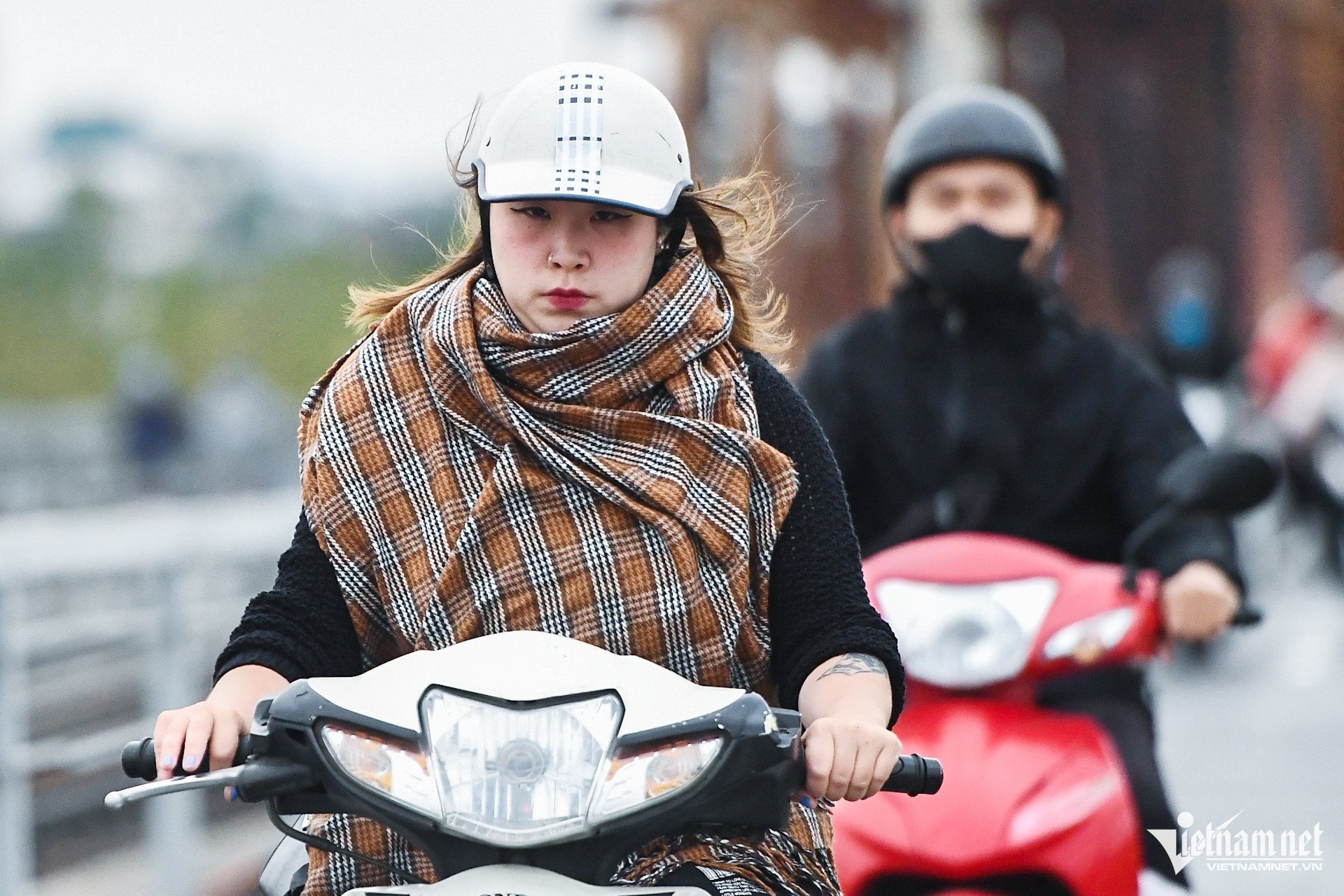
Cold air is active, there is a possibility of many severe cold spells in the first month of the year.
Cold air is likely to be active, with many severe cold spells occurring in January and February 2025. ENSO is currently in a neutral state.
![[Photo] Ha Giang: Many key projects under construction during the holiday season](https://vphoto.vietnam.vn/thumb/1200x675/vietnam/resource/IMAGE/2025/5/1/8b8d87a9bd9b4d279bf5c1f71c030dec)
![[Photo] "Lovely" moments on the 30/4 holiday](https://vphoto.vietnam.vn/thumb/1200x675/vietnam/resource/IMAGE/2025/5/1/26d5d698f36b498287397db9e2f9d16c)
![[Photo] Binh Thuan organizes many special festivals on the occasion of April 30 and May 1](https://vphoto.vietnam.vn/thumb/1200x675/vietnam/resource/IMAGE/2025/5/1/5180af1d979642468ef6a3a9755d8d51)


Comment (0)