
After the earthquake in Myanmar on March 28 killed thousands of people, Microsoft deployed support by combining satellite imagery and AI to identify areas in need of urgent relief.

Map of damage assessment in Myanmar after the earthquake. Photo: Microsoft
On March 29, Planet Labs PBC took satellite images of the earthquake-affected areas as soon as the clouds cleared and sent them to Microsoft’s AI for Good lab. At Microsoft headquarters in Redmond, Washington, around 11 p.m. on March 28, a team of experts was ready to receive the images and use AI to analyze the damage, identifying collapsed and severely damaged buildings.
Before today’s technological advances, assessing damage after disasters such as earthquakes and floods often relied on on-site analysis. This took a long time, from days to weeks. While it provided detailed data, it did not meet the need for urgent action.
Before and after images of the earthquake in Myanmar taken by Planet Labs PBC satellite. Photo: Planet Labs PBC
Microsoft shared how AI analyzes the extent of destruction from high-resolution satellite imagery. The system uses a convolutional neural network (CNN), a type of supercomputer that specializes in processing visual data, to compare images before and after a disaster. The model then applies a scoring system to quantify the severity of the damage, classifying areas into categories such as “no damage,” “light damage,” “partially destroyed,” and “completely destroyed.”
Microsoft emphasizes that in the context of disaster response, the value of automated damage assessment lies in the speed of inference rather than absolute accuracy. So this time, the team developed a custom model specifically for Mandalay, because, according to Microsoft chief data scientist Lavista Ferres, “The world is too diverse, natural disasters are too diverse, and satellite imagery is too different to use the same model for every situation.”
According to local media, Mandalay was the hardest hit area in the March 28 earthquake. AI’s analysis found that 515 buildings there suffered 80% to 100% damage, while another 1,524 buildings suffered 20% to 80% damage. Other severely affected areas included Yangon and Min Kun.
This isn’t the first time Microsoft’s AI for Good lab has used AI to assess damage. In 2023, the team monitored catastrophic flooding in Libya to predict risks and aid recovery efforts; analyzed damage from a major earthquake in Türkiye in March; and assessed the impact of wildfires in Maui in August, which analyzed more than 2,810 buildings.
Rescue efforts in Myanmar are currently slow due to power outages, fuel shortages, communication disruptions and landslides that have cut off large areas. The lack of modern machinery has also hampered search and rescue efforts, forcing many people to dig by hand in extremely hot weather conditions.
(According to India Today, theglobeandmail)
Tragic scenes in Myanmar after the earthquakeIn Sagaing, the epicenter of the earthquake in Myanmar, authorities are struggling to bury thousands of victims killed in the disaster on March 28.
Source: https://vietnamnet.vn/ai-va-ve-tinh-da-ho-tro-cuu-nan-trong-dong-dat-myanmar-nhu-the-nao-2386997.html
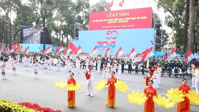
![[Photo] Panorama of the parade celebrating the 50th anniversary of the Liberation of the South and National Reunification](https://vphoto.vietnam.vn/thumb/1200x675/vietnam/resource/IMAGE/2025/4/30/affbd72e439d4362962babbf222ffb8b)


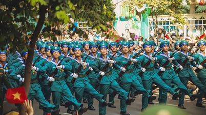
![[Photo] Mass parade to celebrate 50 years of national reunification](https://vphoto.vietnam.vn/thumb/1200x675/vietnam/resource/IMAGE/2025/4/30/825e459ee2f54d85b3a134cdcda46e0d)


Comment (0)