

Of the more than 1.06 million hectares, protective forests cover an area of more than 308,700 hectares, special-use forests cover more than 93,200 hectares, production forests cover more than 663,300 hectares, not including planted forest areas that have not yet become forests and other bare land areas.
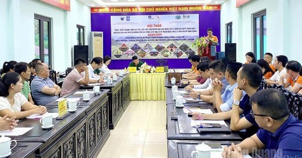
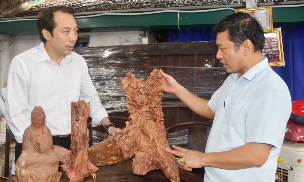
Mr. Nguyen Ngoc Khanh, Deputy Head of the Quang Ngai Provincial Forest Protection Department, said that after the merger of administrative units, forest management in the province encountered many difficulties due to the large forest area, complex terrain, staff reduction and climate differences between the two regions. Specifically, when Quang Ngai (old) entered the hot and dry season, the Kon Tum area (old), with its high terrain, often had rain and vice versa, so in the beginning, the management, forecasting and warning of forest fires encountered many difficulties.

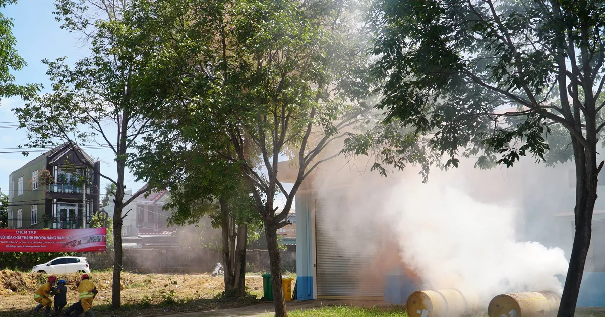
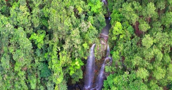
In 2025, Quang Ngai province had 2 forest fires, including the fire at plot 01, sub-zone 273, Tu Mo Rong commune, with an area of 16.35 hectares of unforested forest and the fire at plots 7, 9, sub-zone 568, Dak Ro Wa commune with an area of about 1.6 hectares of vegetation. Both fires did not cause damage to the forest.
“Currently, the Forest Protection Department is testing 5 thermal and smoke sensors to warn of forest fires early in 5 areas at high risk of fire in the province. With this device, the control area can be up to several hundred hectares. At the same time, 17 flycams are equipped to serve forest patrols, monitor forest resources and command forest fire fighting,” said Mr. Khanh.

Every day, Quang Ngai Forest Protection Department monitors and supervises forest resource developments and forest fire prevention through warning software of the Forestry Department, Forest Protection Department and Quang Ngai FMS.
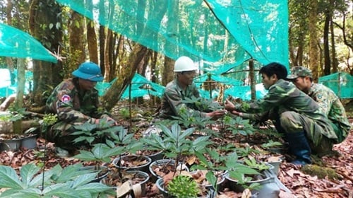
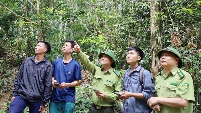
The unit also applies modern tools such as QGIS, SMART, high-resolution remote sensing images, GPS locators and flycams to patrol and identify suspected fire locations. When detecting unusual signs, the on-duty civil servant immediately reports to the leader and sends information via Zalo group for relevant units to verify and handle. In case of fire, forces and means are mobilized promptly to extinguish the fire and limit damage.
After the merger, the Quang Ngai Provincial Forest Protection Department promoted the application of science , technology, and digital transformation through software and machinery with high accuracy to detect hundreds of forest fluctuation points and thousands of suspected forest fire points. The number of fires as well as the damaged forest area tended to decrease over the years, increasing the forest cover rate.
Source: https://www.sggp.org.vn/ung-dung-cong-nghe-trong-quan-ly-bao-ve-rung-sau-sap-nhap-tinh-quang-ngai-post804425.html


![[Photo] President Luong Cuong receives delegation of the Youth Committee of the Liberal Democratic Party of Japan](https://vstatic.vietnam.vn/vietnam/resource/IMAGE/2025/8/22/2632d7f5cf4f4a8e90ce5f5e1989194a)


![[Photo] Scientific workshop "Trade unions with the task of participating in state management and building a socialist rule of law state"](https://vstatic.vietnam.vn/vietnam/resource/IMAGE/2025/8/22/789f6384ec37466098a8bcb531deb281)


Comment (0)