

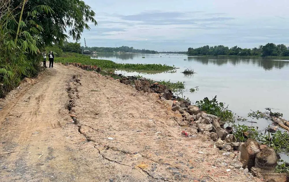
Accordingly, the Ho Chi Minh City People's Committee has just assigned the Department of Planning and Architecture (QHKT) to review construction planning and land use planning along the Saigon River within the riverbank protection corridor.
From there, build an integrated database based on industry management information, tourism development programs, agricultural and industrial management and planning projects... to synchronize policies and connection plans, propose ideas to adjust the development planning of the Saigon River corridor.
In addition, the Department of Planning and Investment synthesizes data from various sectors to research and propose ideas for planning adjustments to ensure consistency with the development orientation of green infrastructure construction, update traffic orientations, and effectively exploit the value of land funds along the riverbank.
At the same time, the Department of Planning and Investment is also responsible for reviewing and providing comments on adjusting Decision 22/2017 of the Ho Chi Minh City People's Committee on regulations on management and use of corridors on river banks, streams, canals, ditches and public lakes to ensure compliance with construction management practices. Thereby, researching and proposing green technical infrastructure solutions, traffic connections, and proposing a development roadmap to apply to research on the work of making a general plan for the city.
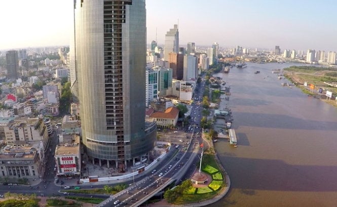
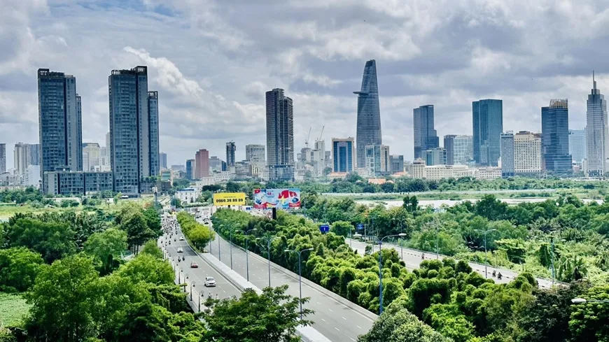
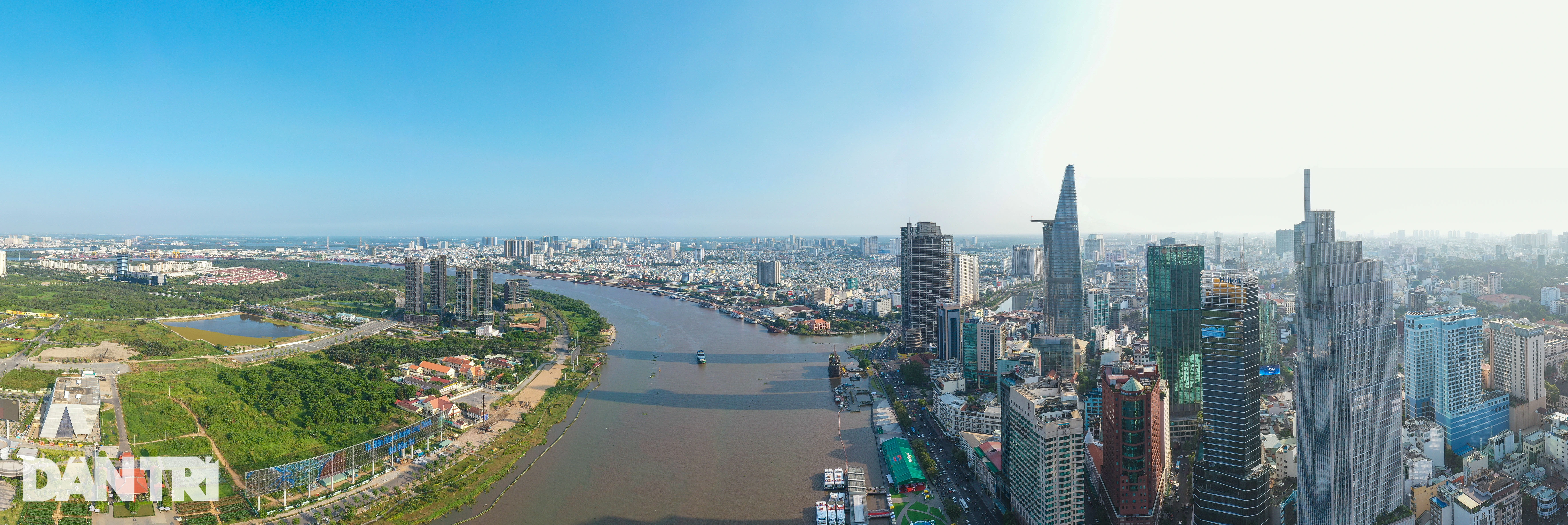
Ho Chi Minh City is very interested in developing land funds along the Saigon River.
The Ho Chi Minh City People's Committee requested the Department of Planning and Investment to report on the progress and results of the above-mentioned work before December 20. In particular, it recommended that the Ho Chi Minh City People's Committee consider and approve the integration of related contents of the Project "Development of river embankments and riverside service economy in Ho Chi Minh City, period 2020-2045" into the work of preparing the general planning project of Ho Chi Minh City until 2040, with a vision to 2060.
Previously, the Department of Transport also said that it was working with related units to complete the plan for the Saigon River route. In particular, the Saigon River route project (from Mui Den Do intersection, District 7 to the downstream of Dau Tieng dam, Binh Duong ) extends to Ben Cui (Tay Ninh) with many curves and bends. Therefore, the riverside route does not necessarily follow the riverbank.
The project will make the most of existing routes running along the Saigon River to flexibly plan the route, suitable for the current status and urban landscape along the river, with the goal of forming a road axis along the Saigon River.
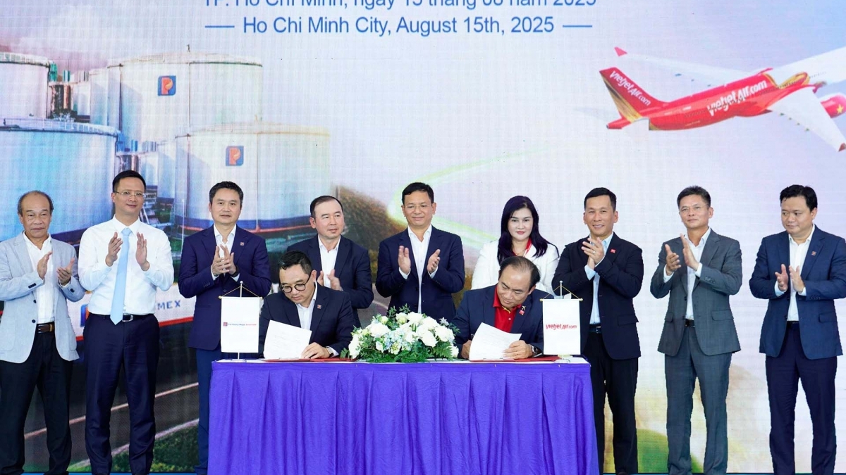
Source
![[Photo] President Luong Cuong receives delegation of the Youth Committee of the Liberal Democratic Party of Japan](https://vstatic.vietnam.vn/vietnam/resource/IMAGE/2025/8/22/2632d7f5cf4f4a8e90ce5f5e1989194a)
![[Photo] Prime Minister Pham Minh Chinh chairs the conference to review the 2024-2025 school year and deploy tasks for the 2025-2026 school year.](https://vstatic.vietnam.vn/vietnam/resource/IMAGE/2025/8/22/2ca5ed79ce6a46a1ac7706a42cefafae)

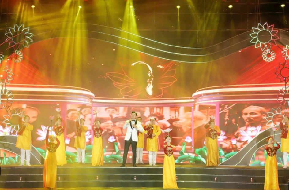
![[Photo] President Luong Cuong attends special political-artistic television show "Golden Opportunity"](https://vstatic.vietnam.vn/vietnam/resource/IMAGE/2025/8/22/44ca13c28fa7476796f9aa3618ff74c4)


Comment (0)