
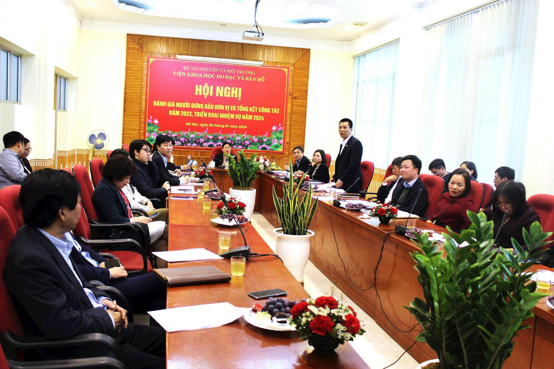
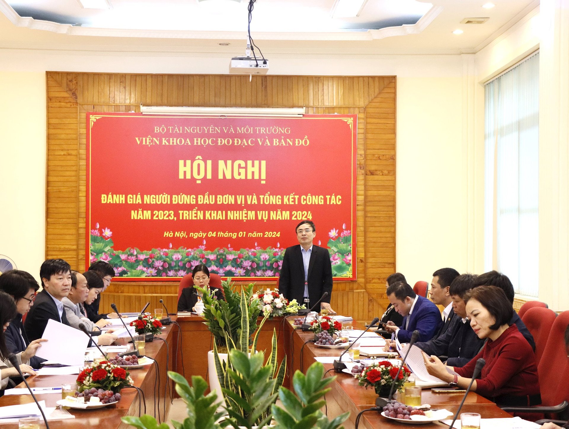
Attending the Conference were representatives of leaders of functional departments, representatives of leaders of some units under the Ministry of Natural Resources and Environment, together with the collective leadership, officers, civil servants and employees of the Institute of Geodesy and Cartography.
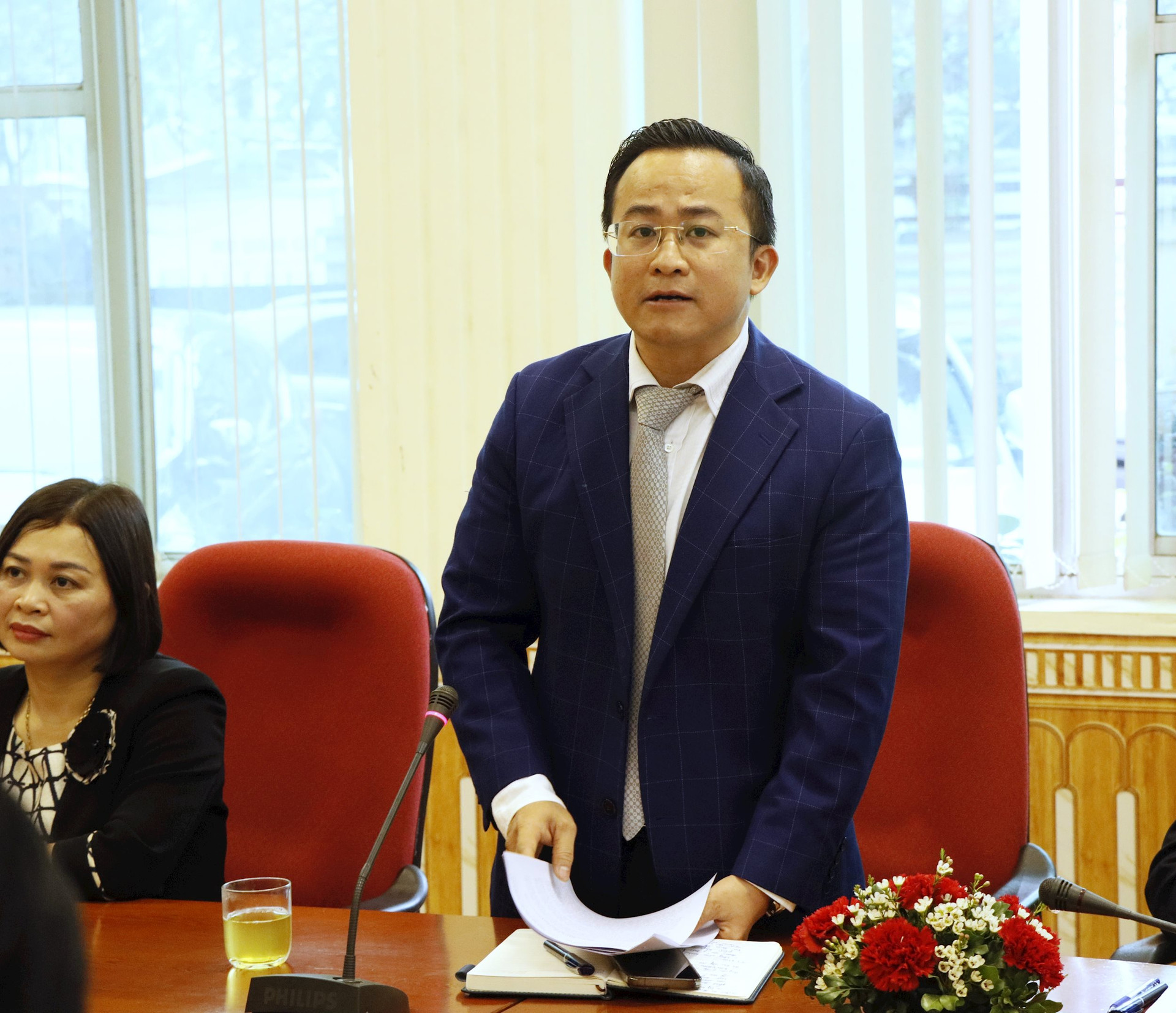
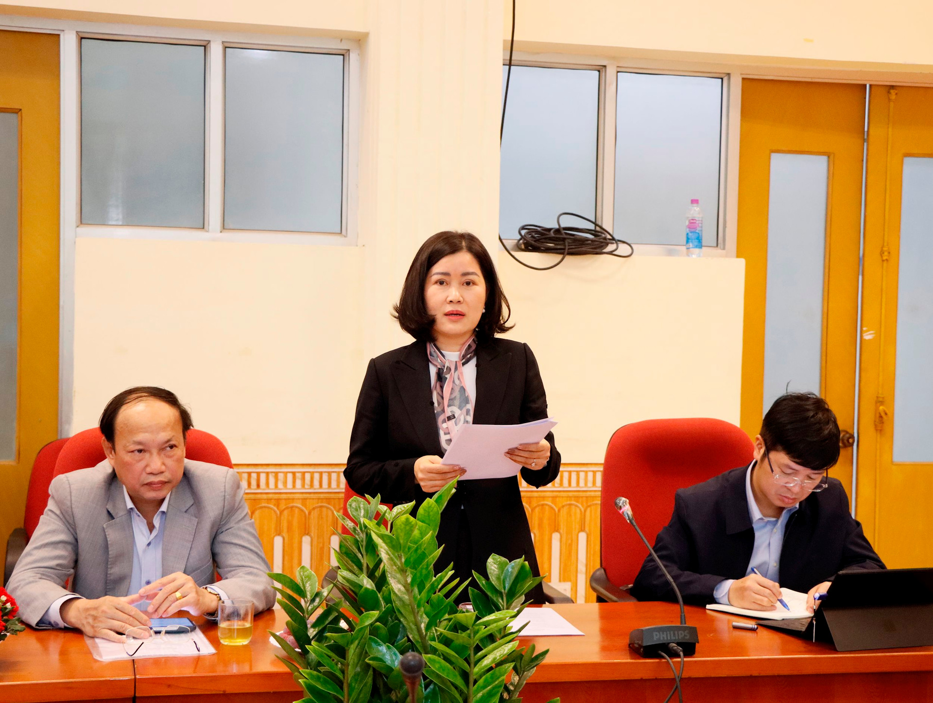
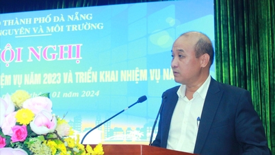
In the summary report at the Conference, Deputy Director of the Institute of Geodesy and Cartography Pham Minh Hai said that in 2023, with the attention and direction of the leaders of the Ministry of Natural Resources and Environment, the coordination and support of the functional units of the Ministry; the solidarity, efforts and endeavors of all officers and employees in the Institute, the plan to implement the tasks of 2023 of the Institute has been actively and urgently deployed, so far successfully completing the assigned tasks, making important contributions in the field of surveying and mapping.
Specifically, in the past year, the Institute has completed the draft of the National Technical Regulation “Detailed gravity measurement for surveying and mapping - Ground measurement part”; deployed the development of the basic standard “survey, measurement, establishment and mapping of underground geographic objects in the shallow layer - GeoRada method”; actively participated in the drafting committees and drafting groups of Circulars and Vietnamese Standards, and provided comments on the field of surveying and mapping.
In addition, the Institute also focuses on promoting the implementation of tasks in scientific research, training, international cooperation and journal publishing. Accordingly, in 2023, the Institute organized the development of explanations and progress checks for 6 tasks in 2023 to provide specific products such as technical processes, a thematic map of the Mekong Delta wetland ecosystem; organized the implementation of items according to the progress of 9 ministerial-level scientific research topics and 1 grassroots-level topic; developed a science and technology plan for 2024; successfully organized 2 workshops on "Sharing experiences in scientific research, training and project implementation of Institute - University groups" and "Application of new technology in collecting, processing, updating and sharing geospatial data" to share new research results and new technologies in the field of surveying and mapping.
Along with that, the Institute has also drafted the "Research, application, technology development, international cooperation on science and technology in the field of surveying, mapping and national geospatial data infrastructure to 2030, vision to 2045"; developed a bilingual publication in Vietnamese - English: "Results of scientific research and technology development of the Institute of Surveying and Mapping" to celebrate the 30th anniversary of the Institute's establishment. The Institute's information technology infrastructure and electronic information page are maintained, ensuring the implementation of political tasks, disseminating and propagating the results of scientific and technological research.
In 2023, the Institute also developed a project and announced enrollment, approved study plans, supervised and urged; organized 2 Institute-level thesis evaluation councils, 3 basic-level thesis evaluation councils; organized the publication and release of 4 issues of the Journal of Geodesy and Cartography.
Along with carrying out scientific and training tasks, the Institute also actively implements specialized projects and plans assigned in 2023 in accordance with the regulations of the Ministry of Natural Resources and Environment such as: checking and reviewing the gravity reference system to serve the work of preparing statistical reports on data of the Natural Resources and Environment sector; organizing the development of the project "Application of surveying and mapping technology in investigating, assessing the current status, inventorying and proposing solutions for conservation and sustainable use of coastal and island wetlands (pilot for 3 representative coastal and island areas of Vietnam".
The Institute has also completed the field survey work, established wetland classification maps, edited provincial-level maps, and developed a thematic report of the project "Survey and measurement, establishment of various types of maps to serve the construction of a database for management, conservation and sustainable development of wetlands in the provinces of Bac Lieu, Soc Trang, Can Tho City, Tra Vinh, Vinh Long, Ben Tre, Tien Giang, Long An and Ho Chi Minh City; coordinated with relevant units to organize product quality inspections under the project "Building a national gravity network of class II" and "Maintaining regular monitoring of the geodynamic network in Vietnam".
Regarding the tasks for 2024, Deputy Director Pham Minh Hai said that in 2024, the Institute will strive to successfully complete assigned tasks in science and technology activities, international cooperation, magazines and training; carry out economic projects and tasks, and at the same time strive to cooperate in scientific research and seek service contracts to improve the lives of officials, civil servants and employees.
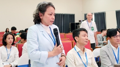
At the Conference, representatives of the Ministry's functional units congratulated the Institute's achievements in 2023, gave comments on the 2024 plan and affirmed that they will closely coordinate with the Institute to remove difficulties in order to further improve the effectiveness of scientific research work and carry out professional tasks in the field of surveying and mapping in the coming time.
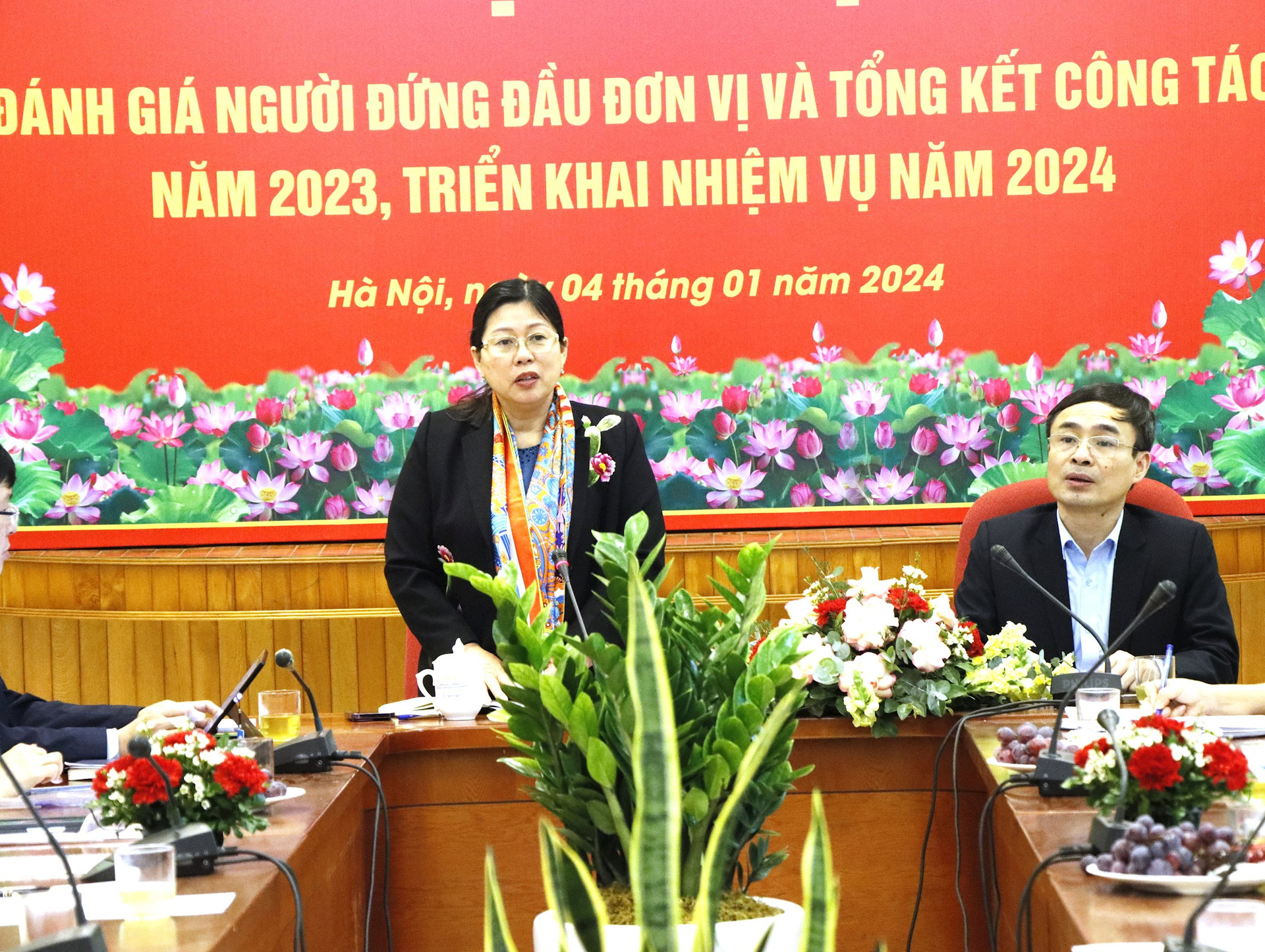
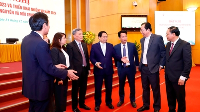
Speaking at the Conference, Deputy Minister of Natural Resources and Environment Nguyen Thi Phuong Hoa highly appreciated the efforts of the staff, civil servants and employees of the Institute of Geodesy and Cartography in 2023.
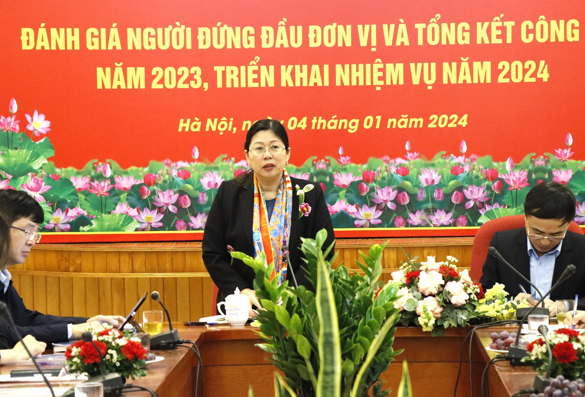
Basically agreeing with the Institute's plan for 2024, the Deputy Minister also emphasized the key tasks that the Institute needs to plan, focus on, and pay attention to in the coming time. Specifically, the Deputy Minister requested the Institute to proactively acquire advanced technologies of the 4.0 Industrial Revolution, coordinate with the Department of Surveying, Mapping and Geographic Information of Vietnam, the Department of Science and Technology, etc. to create conditions for projects and experimental research to be applied appropriately to the reality in Vietnam, along with proposing appropriate science and technology topics to meet the development needs of the natural resources and environment sector in the coming time.
Along with that, the Institute needs to continue developing cutting-edge technologies, expanding the scope of technology transfer activities, strongly applying research results into practice, and enhancing the position of mapping technology.
Regarding the scientific and technological activities of the Institute, the Deputy Minister requested the Institute to continue to closely coordinate with units to effectively carry out scientific and technological research tasks assigned by the State and the Ministry; coordinate with the system of Institutes under the Ministry of Natural Resources and Environment in particular, and units inside and outside the Ministry in general so that in 2024 there will be more scientific research topics, interdisciplinary projects...
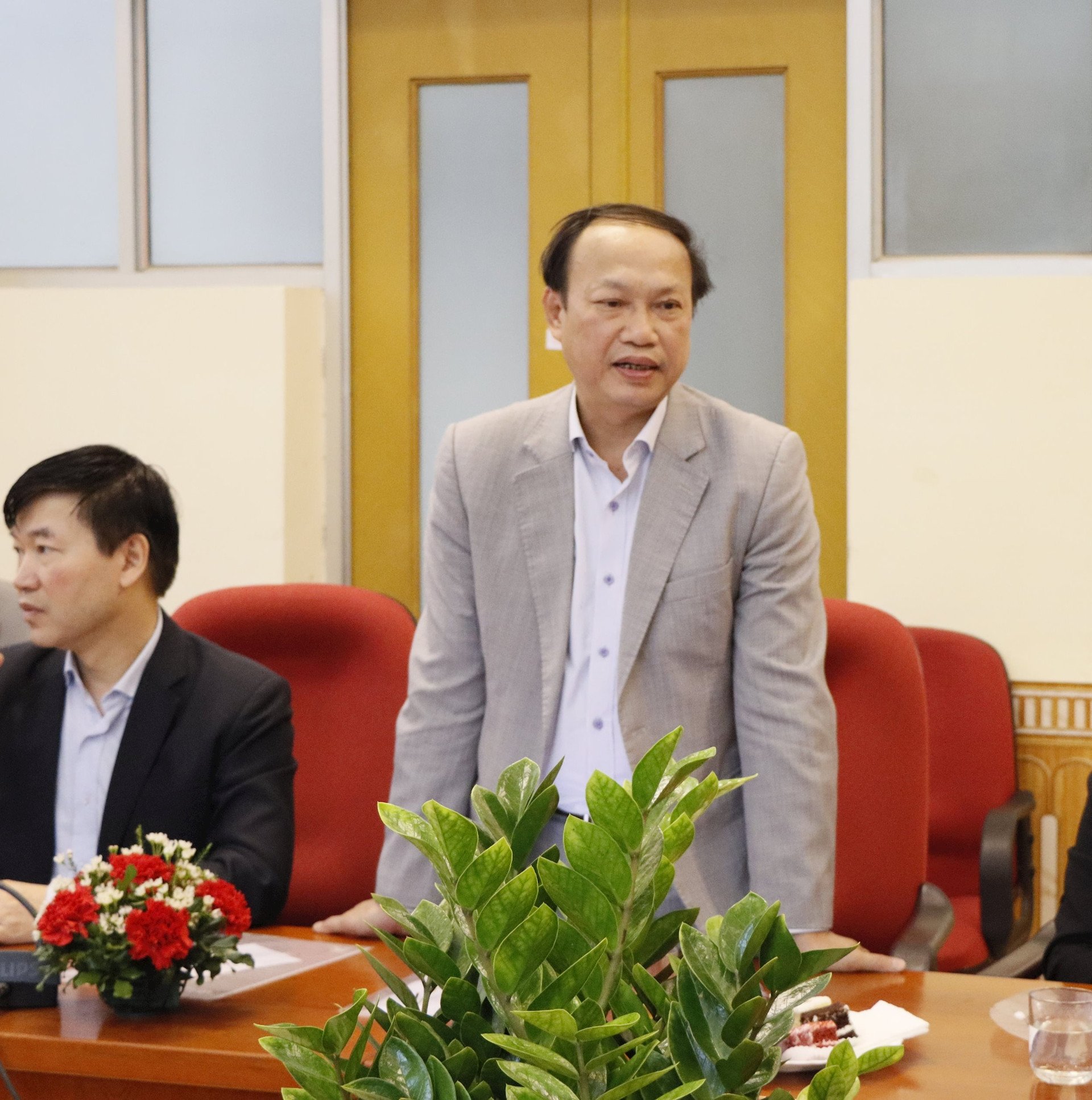
Speaking at the Conference, on behalf of the Institute's leaders, Mr. Nguyen Phi Son, Director of the Institute of Geodesy and Cartography, thanked the close guidance of the leaders of the Ministry of Natural Resources and Environment and the contributions of the leaders of the units under the Ministry. Mr. Nguyen Phi Son also expressed his determination that in 2024, together with all officers, civil servants and employees of the Institute, he will continue to make efforts and strive to complete the assigned tasks well.
Source
![[Photo] Binh Thuan organizes many special festivals on the occasion of April 30 and May 1](https://vphoto.vietnam.vn/thumb/1200x675/vietnam/resource/IMAGE/2025/5/1/5180af1d979642468ef6a3a9755d8d51)

![[Photo] Ha Giang: Many key projects under construction during the holiday season](https://vphoto.vietnam.vn/thumb/1200x675/vietnam/resource/IMAGE/2025/5/1/8b8d87a9bd9b4d279bf5c1f71c030dec)


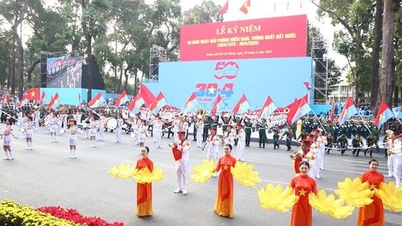
![[Photo] Feast your eyes on images of parades and marching groups seen from above](https://vphoto.vietnam.vn/thumb/1200x675/vietnam/resource/IMAGE/2025/4/30/3525302266124e69819126aa93c41092)


Comment (0)