

On September 5, 2024, Chairman of the People's Committee of Quang Tri province Vo Van Hung signed Official Dispatch No. 04/CD - UBND to the Provincial Steering Committee for Natural Disaster Prevention, Control and Search and Rescue; directors of departments, heads of provincial-level departments, branches and organizations; heads of central agencies located in the province; secretaries and chairmen of People's Committees of districts, towns and cities to continue to respond to storm No. 3. The Official Dispatch clearly stated:
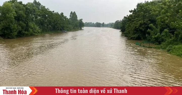
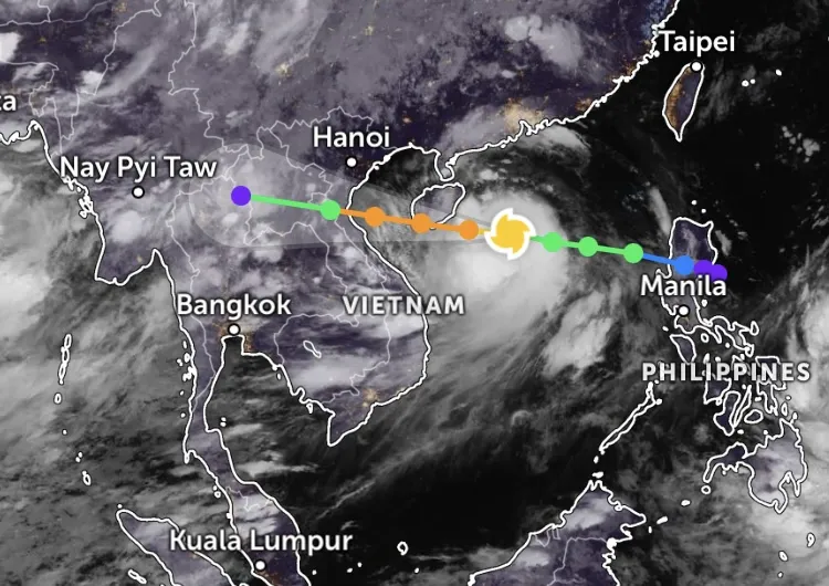
According to the Quang Tri Province Hydrometeorological Station, this morning (September 5, 2024), storm No. 3 has strengthened into a super storm. At 1:00 p.m. on September 5, the center of the super storm was located at about 19.2 degrees north latitude, 115.2 degrees east longitude, in the northern sea area of the North East Sea, about 400 km east of Hainan Island (China). The strongest wind in the center of the storm is level 16 (184 - 201 km/h), gusting above level 17, moving westward at a speed of about 10 km/h.

This is a storm that is forecast to be very strong, high risk and complicated; to proactively prevent and respond to storms, floods due to the impact of storms and implement Official Dispatch No. 87/CD-TTg dated September 5, 2024 of the Prime Minister ; the Chairman of the Provincial People's Committee requests the secretaries and chairmen of the People's Committees of districts, towns and cities; directors of departments, heads of provincial-level departments, branches, unions and central agencies located in the province to focus on implementing the following contents:
1. Continue to seriously implement the contents of Official Dispatch No. 03/CD-UBND dated September 3, 2024 of the Provincial People's Committee to urgently deploy response to storm No. 3 in 2024.
2. Closely monitor the developments of storm No. 3; notify owners of vehicles and captains of ships and boats (including transport ships and tourist ships) operating at sea of the location, direction of movement and developments of the storm to proactively avoid, escape or not move into dangerous areas. Dangerous areas due to storms at sea in the next 24 hours: North of Latitude 16.0N; Longitude 109.5E-119.0E (dangerous areas will be adjusted in the following forecast bulletins).
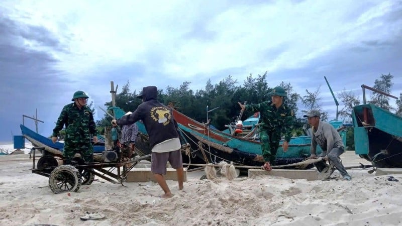
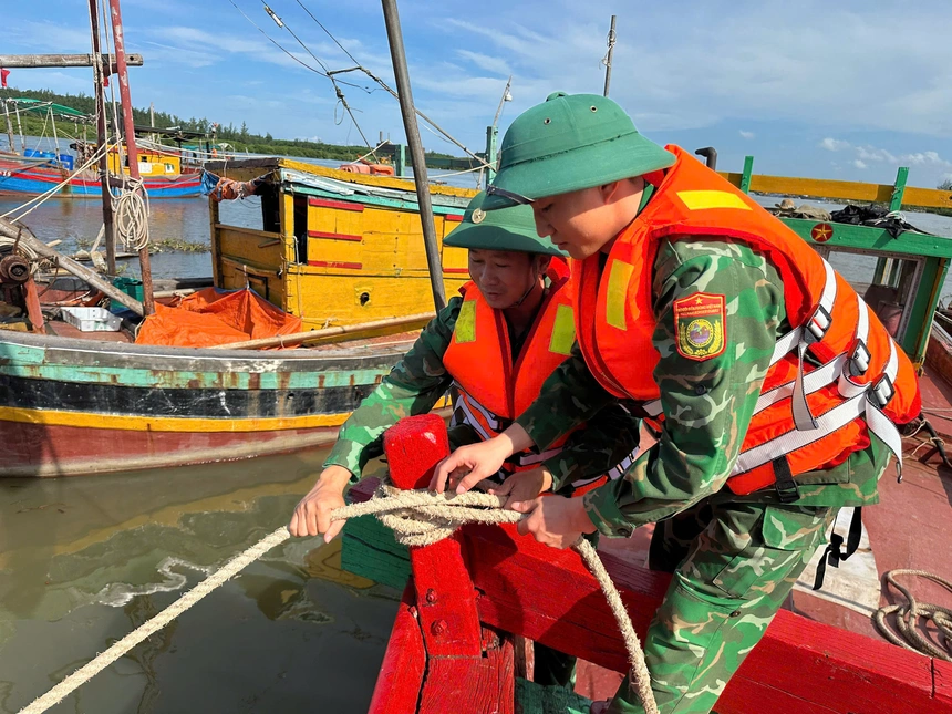
3. Immediately carry out a review to ensure safety for activities at sea and on islands; ensure safety for people, boats, and vehicles operating at sea, in shelters, in dangerous areas, especially aquaculture areas, areas at risk of deep flooding, landslides, and flash floods.
4. Strengthen monitoring of forecasts, warnings of floods and other types of natural disasters that may occur in the coming days, promptly informing authorities at all levels and organizations, and people to proactively prevent and avoid to minimize damage.
5. The provincial Hydrometeorological Station shall strengthen forecasting, warning, and timely information on the developments of storm No. 3, floods, and other dangerous weather conditions that may occur so that relevant localities and units know and proactively deploy effective response measures.
6. Quang Tri Provincial Radio and Television Station, Quang Tri Newspaper and mass media regularly update and report on the developments of storm No. 3, floods and other dangerous weather conditions that may occur and the direction, implementation of response and overcoming of consequences (if any).
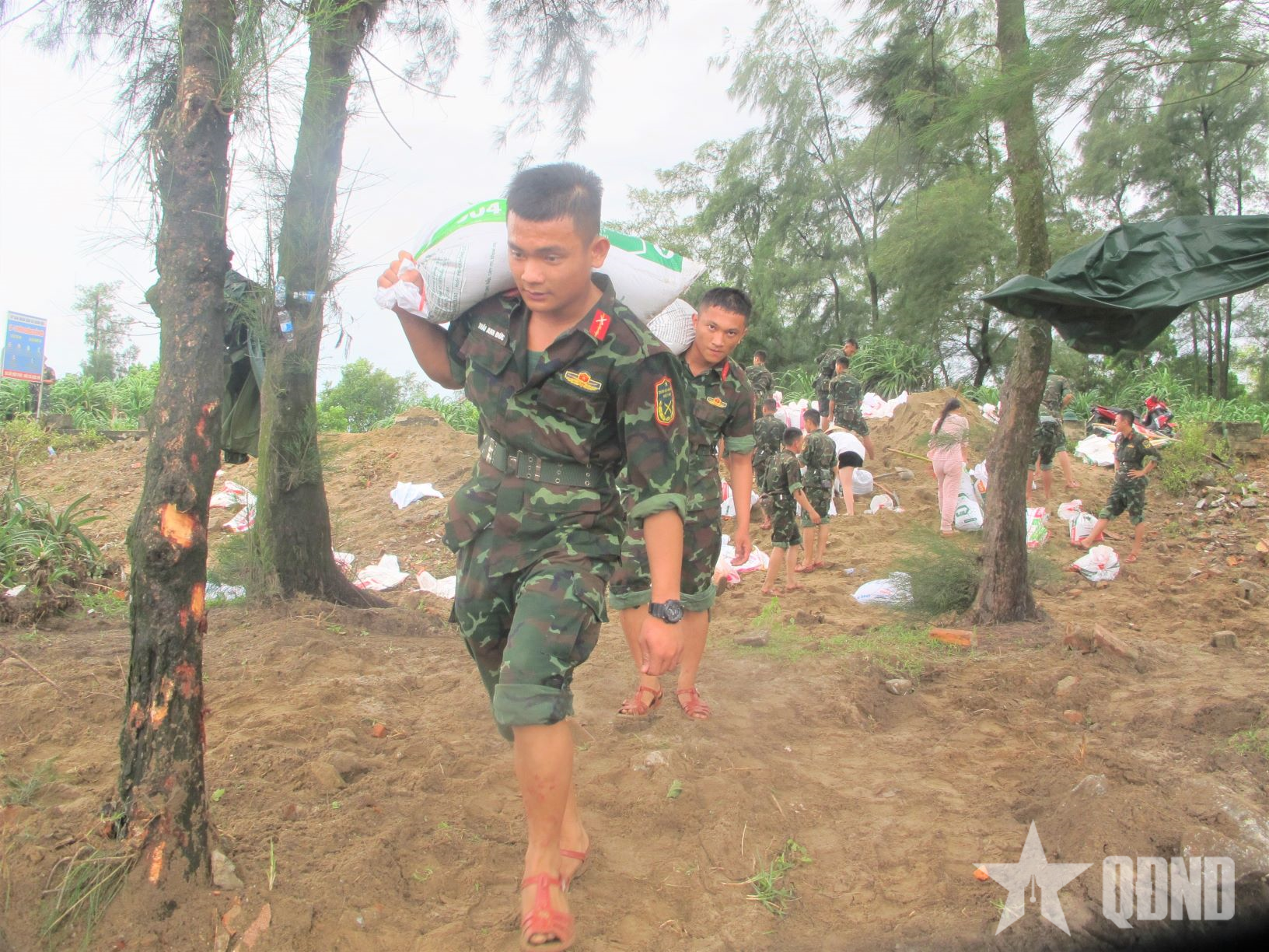
7. Units and localities must focus on serious duty work, prepare plans, strategies, forces and means to proactively deploy rescue work when situations arise and respond to any bad weather or natural disasters that may occur.
The Chairman of the Provincial People's Committee requested the secretaries and chairmen of the People's Committees of districts, towns and cities; directors of departments; heads of provincial-level departments, branches, unions and relevant units to seriously implement this Official Dispatch.
Source: https://baoquangtri.vn/cong-dien-cua-chu-cich-ubnd-tinh-quang-tri-ve-tiep-tuc-trien-khai-ung-pho-bao-so-3-188115.htm


![[Photo] General Secretary To Lam attends the 80th anniversary of Vietnam's diplomacy](https://vstatic.vietnam.vn/vietnam/resource/IMAGE/2025/8/25/3dc715efdbf74937b6fe8072bac5cb30)


Comment (0)