

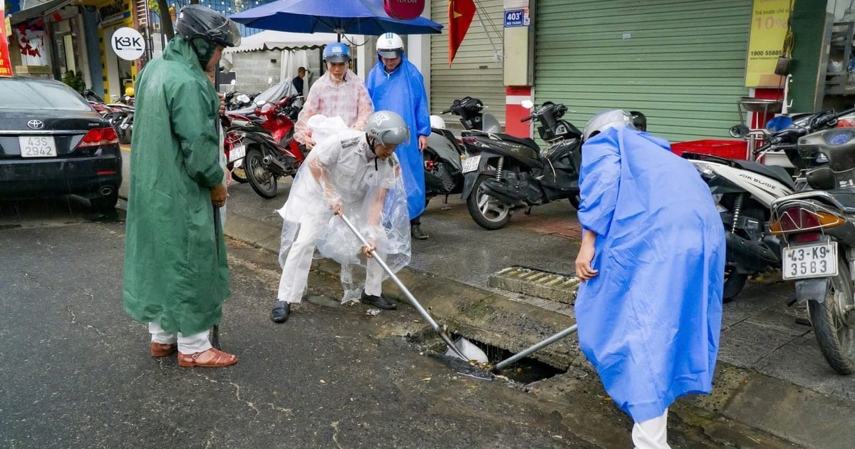
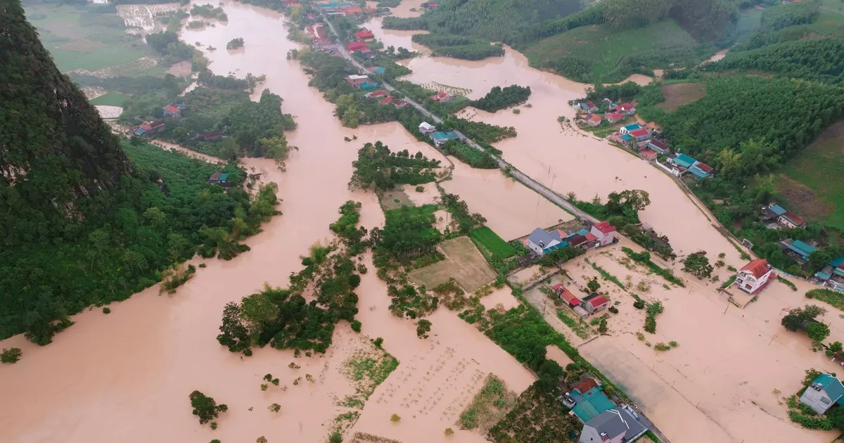
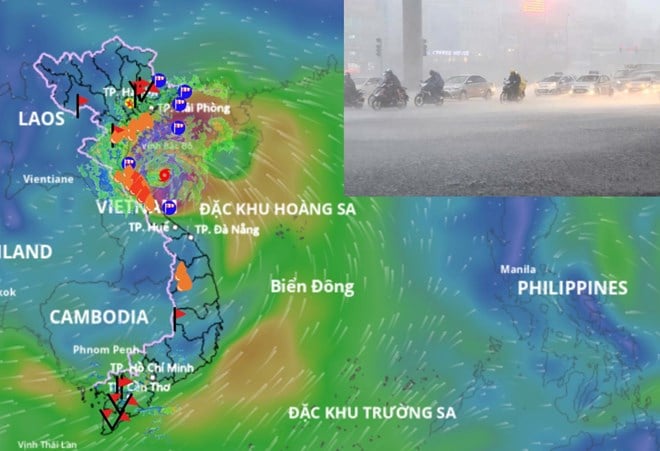
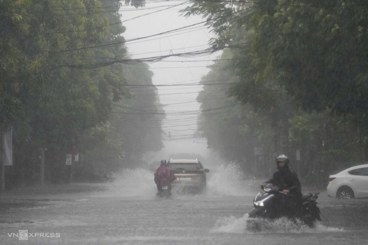
In particular, the Bac Tan Uyen area has heavy rainfall from 70-100mm, Con Dao from 90-120mm. Heavy rain is forecast to last until around August 17, with total rainfall from 100-190mm. Beware of heavy rain causing flooding in low-lying areas, urban areas, industrial areas, riverside areas and canals.

In the sea areas of Ho Chi Minh City , the southwest wind has little change in intensity, the sea weather has showers and thunderstorms. During the rain, beware of tornadoes and strong winds. Can Gio estuary has southwest wind gusting at level 4-5, wave height from 1-2m; Hiep Phuoc and Cat Lai ports have southwest wind gusting at level 3-4.
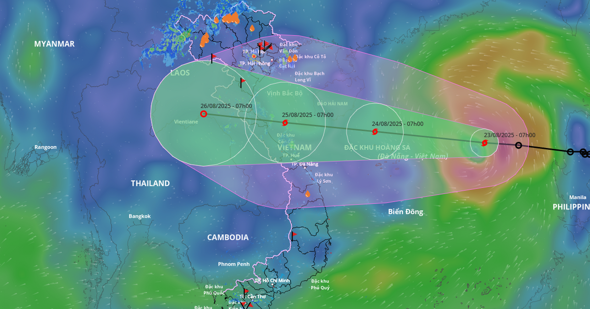
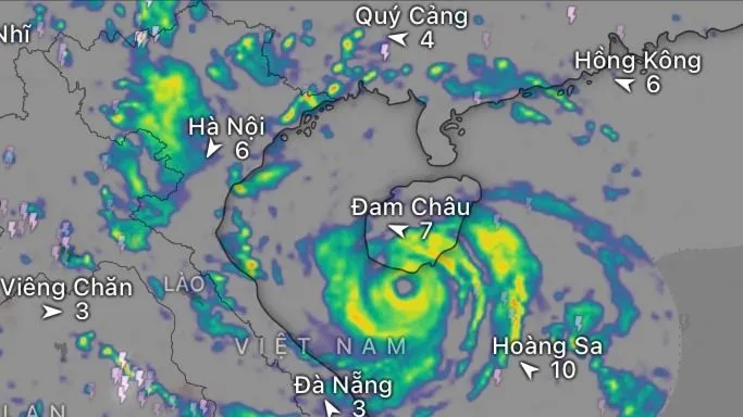
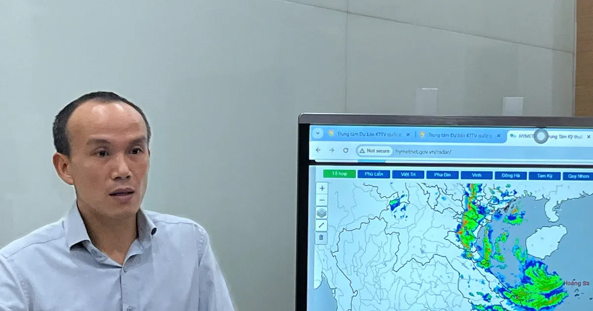
Mr. Le Dinh Quyet, Head of Forecasting Department, Southern Hydrometeorological Station, said that the cause of heavy rain in Ho Chi Minh City is due to the weakening of the low pressure trough with an axis crossing the North and North Central regions. The Southwest monsoon is operating at a moderate intensity. Above, the subtropical high pressure is weakening. The high-altitude wind convergence existing in the Southern region is still maintained at a weak intensity and moving to the West. In the next 3 days, the low pressure trough with an axis crossing the South Central region tends to strengthen and connect with the disturbance area formed on this low trough. This disturbance area is likely to gradually strengthen into a tropical depression - storm. The Southwest monsoon is gradually strengthening. Above, the subtropical high pressure branch in the north encroaches on the West.

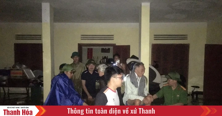
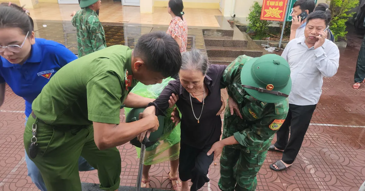
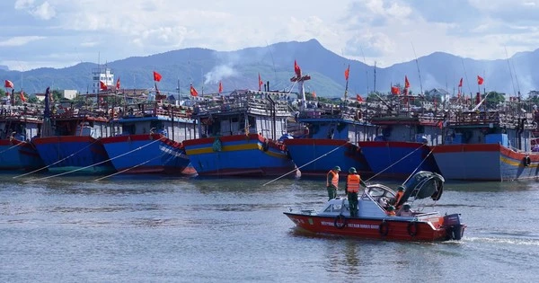
To proactively respond to strong winds and big waves at sea, the Civil Defense - Natural Disaster Prevention and Search and Rescue Command of Ho Chi Minh City has sent an official dispatch to units to proactively develop response plans. It is requested that units and localities be ready to deploy plans to ensure safety for people and boats operating on rivers and at sea. The People's Committees of Can Gio, An Thoi Dong, Thanh An communes, the Ho Chi Minh City Border Guard Command, the Department of Fisheries and Fisheries Control... regularly notify vessels operating at sea of strong winds and big waves and have appropriate plans for production and exploitation of aquatic products, and prepare forces, vehicles and equipment to carry out search and rescue when situations arise.
The media promptly reported warnings and forecasts of strong winds and big waves at sea, along with instructions from authorities at all levels, so that people could proactively and effectively respond.
Source: https://www.sggp.org.vn/tphcm-mua-lon-keo-dai-trong-3-ngay-toi-post808338.html
![[Photo] General Secretary To Lam attends the 80th anniversary of Vietnam's diplomacy](https://vstatic.vietnam.vn/vietnam/resource/IMAGE/2025/8/25/3dc715efdbf74937b6fe8072bac5cb30)


![[E-Magazine] Petrovietnam – Strong steps to realize the “Epochal Transformation”](https://vstatic.vietnam.vn/vietnam/resource/IMAGE/2025/8/25/e745baade70f4e1e96f5314f65eac658)


Comment (0)