

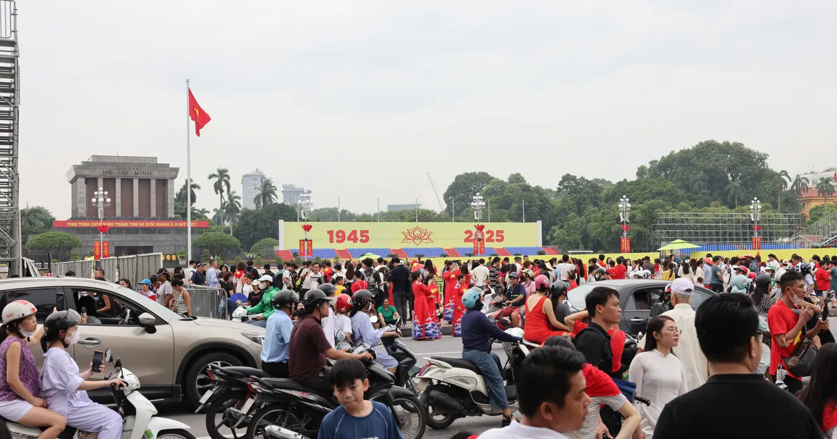
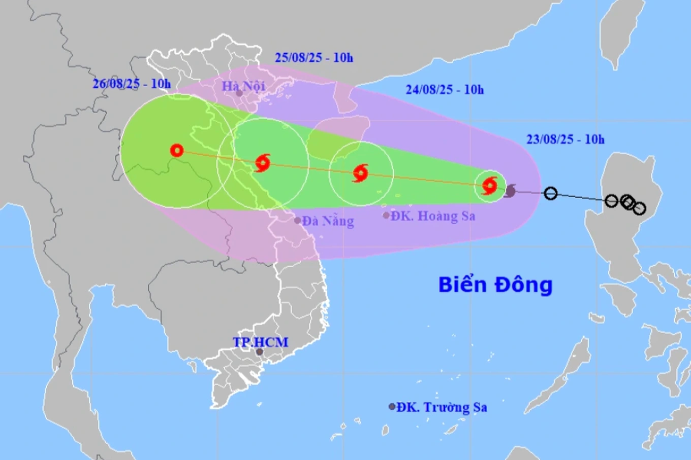
Specifically, location: The detailed planning research area belongs to the administrative boundaries of Kim Lien ward, Phuong Mai ward, Dong Da district, Hanoi city.
Scope and boundary of planning research: Northeast borders Dao Duy Anh street; East has a part bordering Hoang Tich Tri street, a part bordering alley 34 Phuong Mai; Northwest borders Pham Ngoc Thach street; Southwest borders Lu river.
The total area of the land under planning study is about 35.5 hectares. (The scale of the planning area will be determined precisely during the research process to establish the detailed planning project at a scale of 1/500, ensuring no project overlap, and synchronization of technical infrastructure and social infrastructure according to the approved H1-3 urban subdivision planning).
The population size in the detailed planning project for renovation and reconstruction of Kim Lien Collective Area and its vicinity is basically consistent with the approved urban zoning plan and will be accurately determined during the research process for the detailed planning project at a scale of 1/500 based on the results of the survey and assessment of the actual population status, ensuring that the current population does not increase and that the pressure on the technical infrastructure and social infrastructure systems in the area is not increased.
Source: https://kinhtedothi.vn/quy-hoach-chi-tiet-cai-tao-xay-dung-lai-khu-tat-the-kim-lien-va-phu-can.html


![[Photo] General Secretary To Lam attends the 80th Anniversary of the Cultural Sector's Traditional Day](https://vstatic.vietnam.vn/vietnam/resource/IMAGE/2025/8/23/7a88e6b58502490aa153adf8f0eec2b2)
![[Photo] Prime Minister Pham Minh Chinh chairs the meeting of the Government Party Committee Standing Committee](https://vstatic.vietnam.vn/vietnam/resource/IMAGE/2025/8/23/8e94aa3d26424d1ab1528c3e4bbacc45)


Comment (0)