

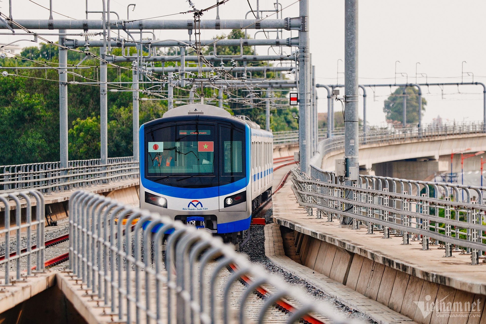
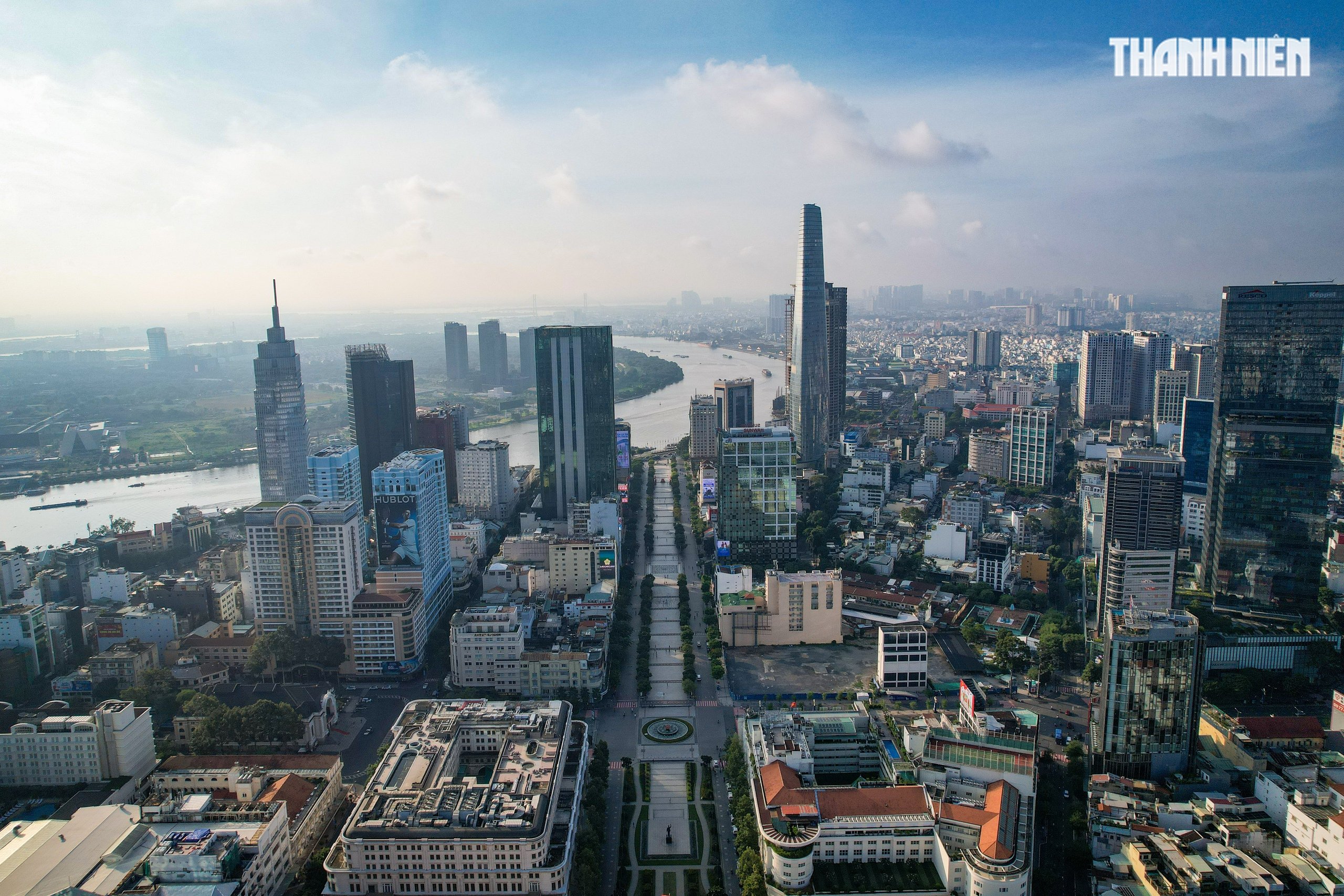
The proposed $4 billion metro line connecting the center of Ho Chi Minh City with Can Gio district is 48.5km long, with a maximum train speed of 250km/h, twice that of the Ben Thanh - Suoi Tien line.
The Department of Transport and Public Works (GTCC) has just proposed that the Ho Chi Minh City People's Committee assign the Department of Finance to guide Vingroup in the project proposal procedures and prepare a pre-feasibility study report because this metro line will be implemented under the public-private partnership (PPP) form.
According to the proposal of Vingroup (investor), the metro connecting the center of Ho Chi Minh City with Can Gio district is 48.5km long and elevated, including 2 stations (terminal stations are Tan Phu and Can Gio); 2 depots are expected to be located on a 39ha land plot (Can Gio) and a 20ha land plot (District 7).
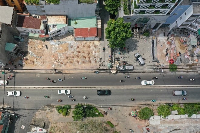
The route starts from Nguyen Van Linh Street (between the intersection of Nguyen Thi Thap Street and Ly Phuc Man Street) and follows the median strip of Nguyen Van Linh Street.
When reaching the intersection with Nguyen Luong Bang Street, turn left and go along Nguyen Luong Bang Street, Road 15B, D1, cross Rach Dia to Hong Linh - Nha Be resettlement area.
After that, the metro will go straight along route 11 of Van Phat Hung - Nha Be resettlement area, then cross Soai Rap river, parallel to Ben Luc - Long Thanh expressway. At Rung Sac, the route will turn right and follow Rung Sac road to the end of the route connecting to Can Gio coastal urban area project.
This metro line is designed as a double track, 1,435mm gauge each track with a maximum speed of 250km/h, more than twice that of the Ben Thanh - Suoi Tien metro line (maximum 110km/h).
According to preliminary research, the project has a total investment of about VND102,370 billion (US$4.09 billion) under the form of public-private partnership (PPP), BOO (build-own-operate) contract. Investors will use their own capital and mobilize from other sources according to regulations.
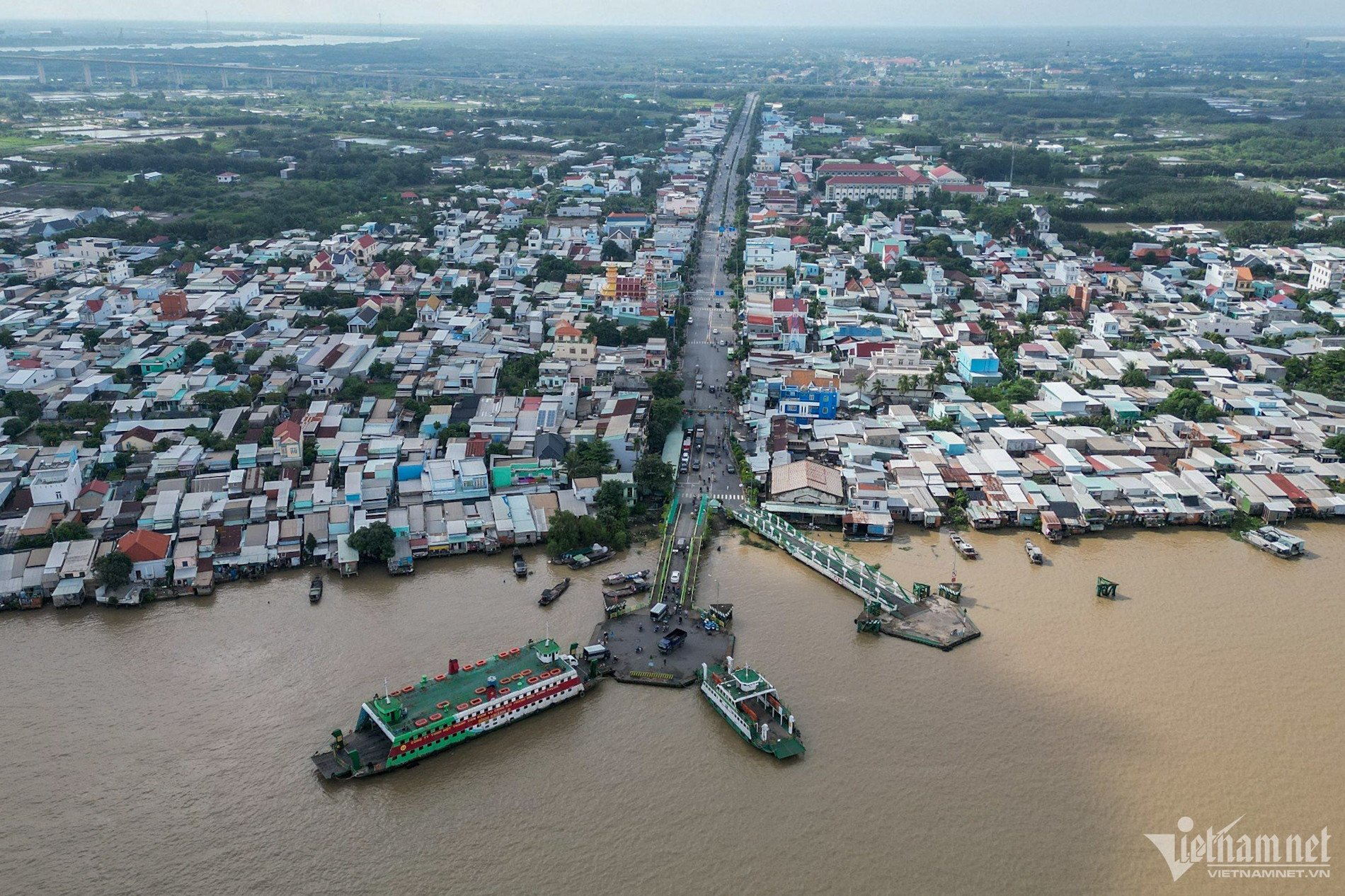
Can Gio island district is located in the Southeast of Ho Chi Minh City, about 50km from the center, and is the only area of the city with a geographical location adjacent to the sea.
Can Gio is oriented to be a satellite city, developing in the direction of a city in the forest, a forest in the city.
Currently, people who want to travel from the center of Ho Chi Minh City to Can Gio district have to rely on Binh Khanh ferry.

Proposal for metro project costing over 4 billion USD to Can Gio
Need 30,000 billion VND to connect Ben Thanh - Suoi Tien metro to Dong Nai
Construction of metro line 2 in Ho Chi Minh City to start at the end of 2025
Source: https://vietnamnet.vn/metro-4-ty-usd-noi-trung-tam-tphcm-voi-can-gio-duoc-de-xuat-toc-do-250km-h-2384622.html

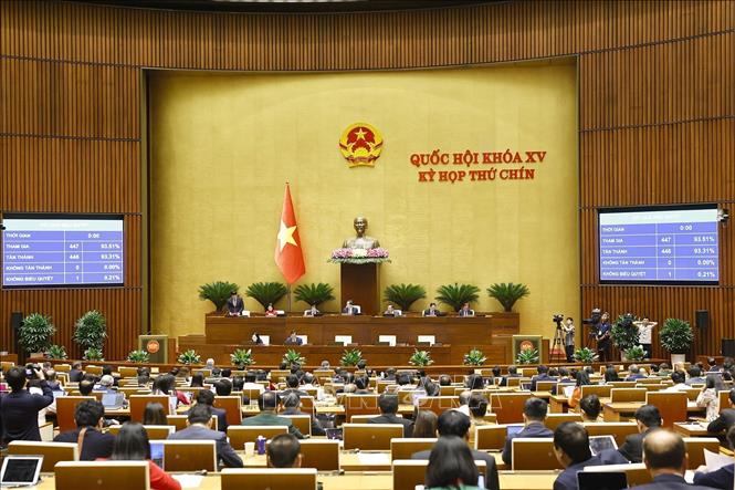
![[Photo] General Secretary To Lam attends the 80th anniversary of Vietnam's diplomacy](https://vstatic.vietnam.vn/vietnam/resource/IMAGE/2025/8/25/3dc715efdbf74937b6fe8072bac5cb30)


Comment (0)