

Nearly 30 years ago, to make the classroom landscape more beautiful and to help students have an overview of a unified Vietnam with a multi-dimensional perspective including the sea and islands, I initiated the hanging of a map of Vietnam in the classroom. The hanging position was solemn, on the right side of the blackboard, so that students sitting below could see it right away.
Since the classes have had maps, I have guided the students to find a lot of information such as the number of provinces and cities, area, location, population limits of administrative units... of the capital Hanoi, Ho Chi Minh City and the whole of Dong Thap province in my hometown. Besides, I also asked the students to identify the large archipelagos, islands with important economic strategic positions: Hoang Sa, Truong Sa, Phu Quoc, Bach Long Vi, Con Co, Con Dao...

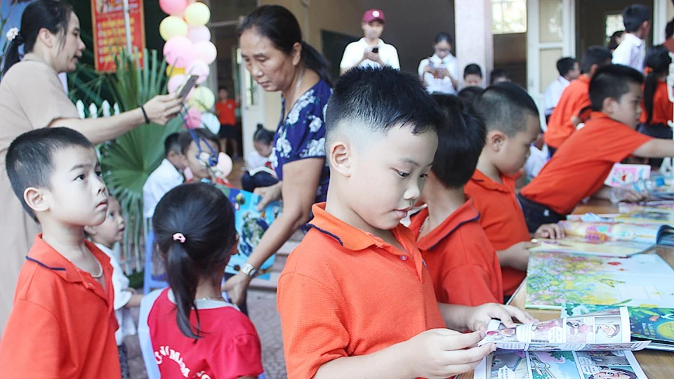
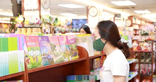
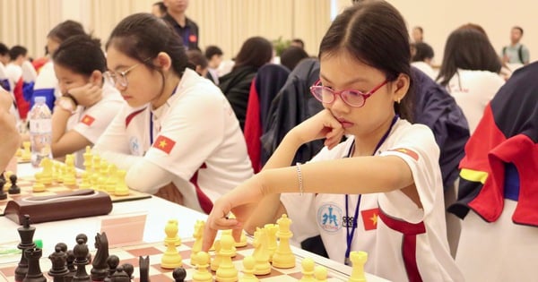
Students of Phan Chau Trinh High School ( Da Nang ) excitedly hang maps in the classroom.
Initially, I proposed a simple level of searching and identifying individual provinces and cities; then gradually increasing it to regional economic zones...
My lessons are not only about knowledge in textbooks but also combined with introducing songs, poems, images of people, culture, cuisine of different places... Like that, with each province and city they learn about, their understanding gradually increases. For example, learning about Hoang Sa and Truong Sa archipelagos... to determine the sovereignty of the sea and islands of the nation.
The figures on population, area, and administrative economy of the provinces are no longer dry but become extremely attractive. I am very happy to see that during break time, many students gather around a map of Vietnam to challenge each other to find the provinces and cities far from their homeland such as Dong Thap, the northern border or the southernmost part of the country; the islands, lagoons, bays... that have existed since ancient times and are known to the world such as Ha Long, Con Dao, Phu Quoc...
Colleagues also made positive changes in teaching. Instead of waiting for the school to provide equipment, which could take time, students from each class pooled together a small amount of money to buy a map to hang on the classroom wall.
Besides hanging up the map of Vietnam, I also guide students to collect beautiful pictures of their homeland, pictures of leaders, cultural celebrities, and heroic martyrs to hang in the classroom.
I think the greatest lesson is the lesson of loving the homeland, determining territorial sovereignty, and respecting ancestors is the most valuable.
Recently, the Central Youth Union organized the campaign "Proud of a strip of land and rivers", specifically hanging maps of Vietnam at places of study, work, etc. to educate patriotism and pride in territorial integrity in every Vietnamese citizen. I am very happy and believe that the campaign will be widely responded to.
Source link

![[Photo] Prime Minister Pham Minh Chinh chairs the meeting of the Government Party Committee Standing Committee](https://vstatic.vietnam.vn/vietnam/resource/IMAGE/2025/8/23/8e94aa3d26424d1ab1528c3e4bbacc45)
![[Photo] General Secretary To Lam attends the 80th Anniversary of the Cultural Sector's Traditional Day](https://vstatic.vietnam.vn/vietnam/resource/IMAGE/2025/8/23/7a88e6b58502490aa153adf8f0eec2b2)


Comment (0)