

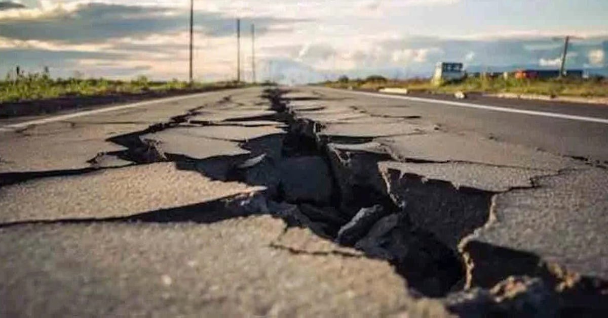
The United States Geological Survey (USGS) announced that it had recorded an earthquake measuring 7.1 on the Richter scale that just occurred in the Tibet region, near Mount Everest, causing shock to the sacred city of Shigatse.

Announcement from the US Geological Survey about the earthquake in the early morning of January 7
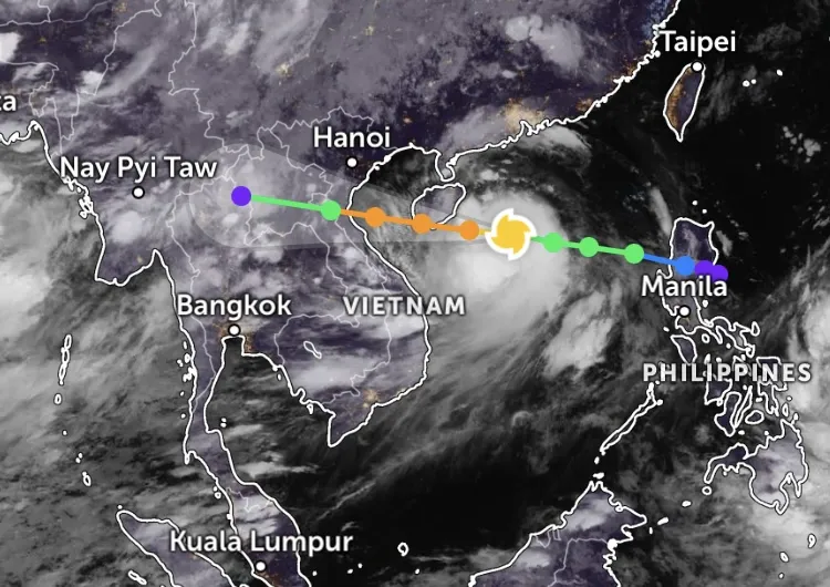
The US Geological Survey (USGS) said the epicenter of the latest earthquake was about 92 km from Lobuche, Nepal, along the plateau border with China's Tibet, Reuters reported on January 7.
USGS data also recorded that Mount Everest, the world's tallest mountain, was simultaneously hit by a 4.5 magnitude tremor. It is not yet known whether anyone was climbing Mount Everest at the time of the earthquake.
For its part, the China Earthquake Networks Center recorded a 6.8-magnitude earthquake near one of Tibet's holiest cities, damaging many houses around the city of Shigatse and sending people fleeing their homes in Nepal and India.
The Chinese Center said the earthquake occurred at 8:05 a.m. on January 7 (Vietnam time), with the epicenter at a depth of 10 km.
The earthquake's effects reached Kathmandu, the capital of Nepal, 400 km away.
The northern Indian state of Bihar, which borders Nepal, also felt the effects of the quake. Many people rushed out of their homes and apartments to find fresh air.
So far, no casualties have been reported. However, earthquakes measuring 6.8 or 7.1 on the Richter scale can cause serious damage to people and property.
Source: https://thanhnien.vn/tay-tang-hung-dong-dat-71-do-richter-suon-nui-everest-rung-chuyen-185250107092233388.htm


![[Photo] Prime Minister Pham Minh Chinh chairs the meeting of the Government Party Committee Standing Committee](https://vstatic.vietnam.vn/vietnam/resource/IMAGE/2025/8/23/8e94aa3d26424d1ab1528c3e4bbacc45)
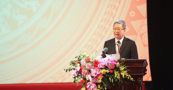
![[Photo] General Secretary To Lam attends the 80th Anniversary of the Cultural Sector's Traditional Day](https://vstatic.vietnam.vn/vietnam/resource/IMAGE/2025/8/23/7a88e6b58502490aa153adf8f0eec2b2)


Comment (0)