

On the morning of November 5, the Department of Information and Communications coordinated with the Department of Education and Training and the People's Committee of Ham Thuan Nam district to organize the digital exhibition "Hoang Sa, Truong Sa of Vietnam - Historical and legal evidence" at Ham Thuan Nam High School.
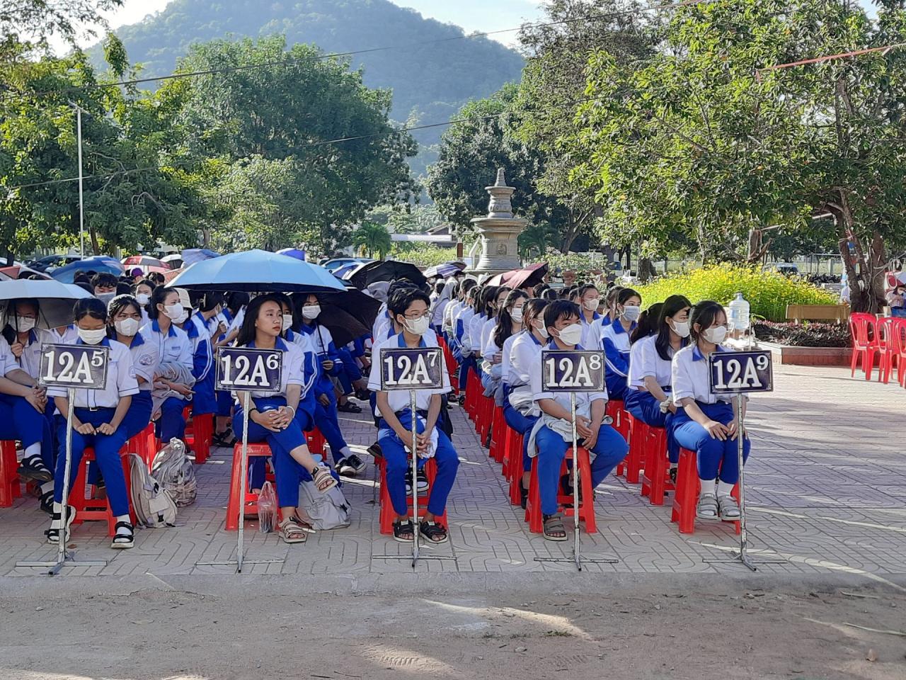
At the exhibition, more than 1,500 students and teachers received information, images, and documents related to the process of establishing and implementing Vietnam's sovereignty over the sea and islands from the 17th to the 20th century. These were the Nguyen Dynasty's royal records, maps of Vietnam during the feudal period (16th - 19th century) recording Vietnam's sovereignty over the Hoang Sa and Truong Sa archipelagos, and Chinese maps published in the West (16th - 20th century) recording that the Hoang Sa and Truong Sa archipelagos did not belong to China...
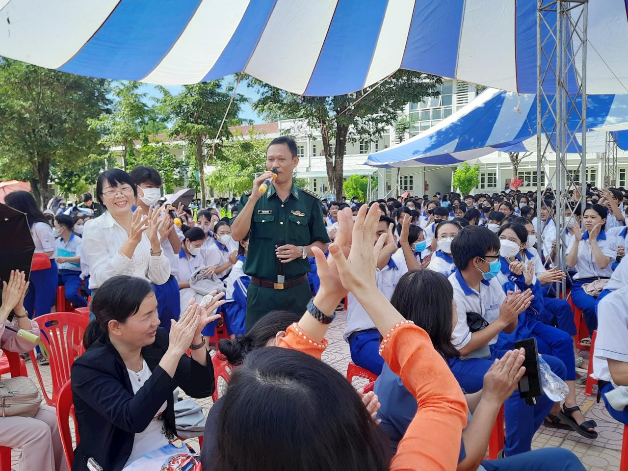
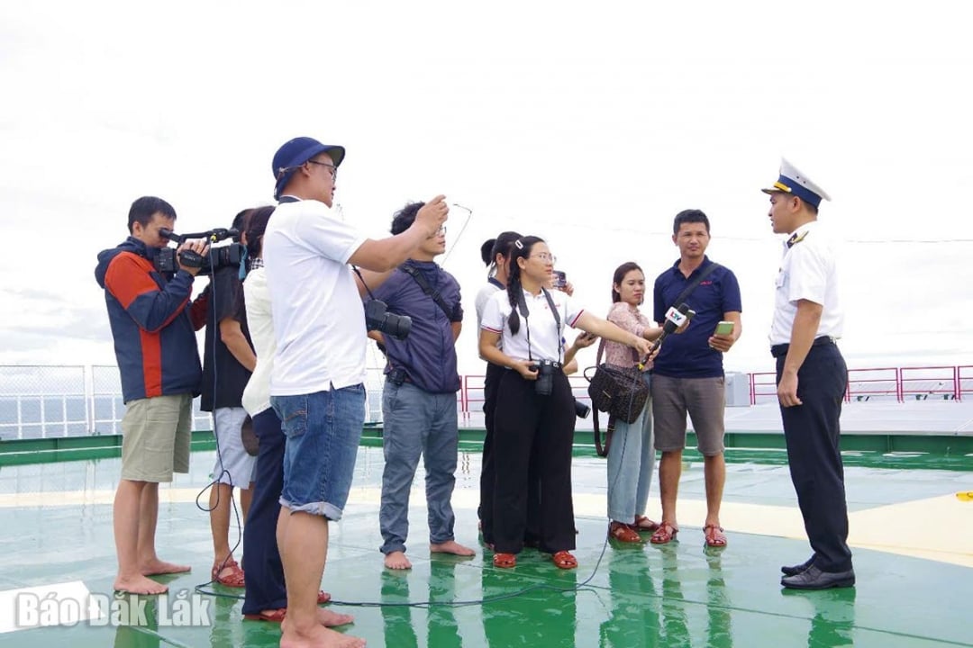
Along with that, the reporter of the Provincial Border Guard Command introduced the potential and advantages of Vietnam's seas and islands in developing the marine economy; the situation of the seas and islands, and the legal protection of sea and island sovereignty. At the same time, he interacted, asked questions, and answered questions with students and teachers on the topic of Vietnam's sea and island sovereignty.
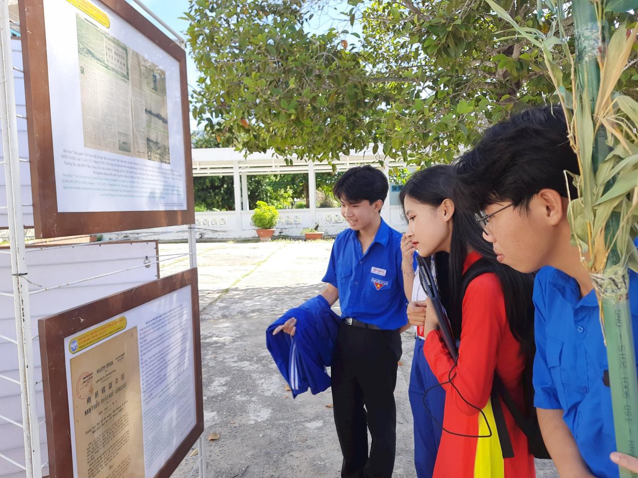
This is a practical activity to introduce and disseminate information to students and teachers about historical and legal documents and evidence affirming Vietnam's sovereignty over Hoang Sa and Truong Sa. Vietnam's seas and islands are a sacred part of the Fatherland's territory, protected, exploited and established by generations of ancestors for thousands of years, exercising sovereignty and jurisdiction over sea areas, islands and archipelagos in accordance with international law.
Source

![[Photo] Prime Minister Pham Minh Chinh chairs the meeting of the Government Party Committee Standing Committee](https://vstatic.vietnam.vn/vietnam/resource/IMAGE/2025/8/23/8e94aa3d26424d1ab1528c3e4bbacc45)

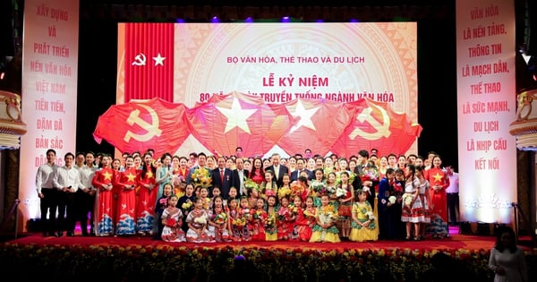
![[Photo] General Secretary To Lam attends the 80th Anniversary of the Cultural Sector's Traditional Day](https://vstatic.vietnam.vn/vietnam/resource/IMAGE/2025/8/23/7a88e6b58502490aa153adf8f0eec2b2)


Comment (0)