

The incident occurred at the coordinates (21.71 degrees North latitude, 96.02 degrees East longitude), the focal depth was about 10km. The earthquake occurred in the Myanmar area, the natural disaster risk level is level 0.
On the afternoon of March 28, the Earthquake and Tsunami Warning Center (Institute of Earth Sciences ) said that at 06:20:57 (GMT) the same day (ie 13:20:57 Hanoi time), a 7.7 magnitude earthquake occurred.

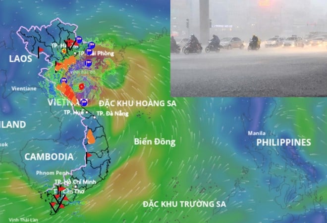
Earthquake epicenter map.
The above earthquake occurred at the coordinates (21.71 degrees North latitude, 96.02 degrees East longitude), the focal depth was about 10km. The earthquake occurred in the Myanmar area, the natural disaster risk level is level 0.
Currently, the Earthquake Information and Tsunami Warning Center (Earth Sciences Institute) is continuing to monitor this earthquake.
At the same time, information and images related to the earthquake were shared on many social networking sites. According to these accounts, people on the upper floors of many high-rise buildings in Hanoi and Ho Chi Minh City felt the shaking.

People in a building in Ho Chi Minh City ran outside when there was shaking.
In addition to shared content, social networks posted a series of photos and clips describing the shaking, shown through images of ceiling fans, wall lamps, fish tanks... shaking.
Meanwhile, the US Geological Survey (USGS) website shows the earthquake as having a magnitude of 7.7. The German Research Center for Geosciences (GFZ) said the earthquake had a magnitude of 6.9 in Myanmar and 7.3 in the Thai capital Bangkok.
Source: https://www.baogiaothong.vn/dong-dat-77-do-o-myanmar-cao-oc-o-ha-noi-va-tphcm-xay-ra-rung-lac-192250327104818673.htm


Comment (0)