

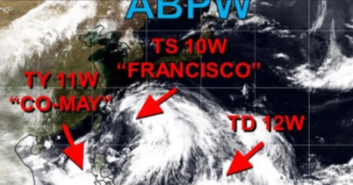
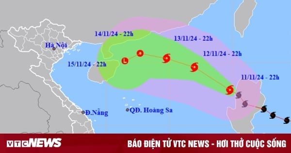
According to the General Department of Hydrometeorology, from September 24 to 27, there is a possibility of a tropical depression/storm appearing in the East Sea and affecting the North and Central Central regions.
The National Center for Hydro-Meteorological Forecasting said that from September 25 to September 27, the Central, Central Highlands and Southern regions will have moderate rain, heavy rain and thunderstorms, and locally very heavy rain. The North and Central Central regions will have rainfall of 100-250 mm/period, with some places having over 300 mm/period. The South Central, Central Highlands and Southern regions will have rainfall of 100-150 mm/period, with some places having over 200 mm/period.
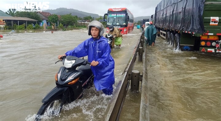
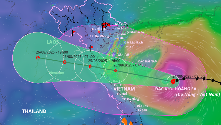
Central Vietnam is about to experience heavy rain. (Illustration photo)
Also according to the meteorological agency, from 1:00 a.m. to 7:00 a.m. on September 24, Lai Chau, Dien Bien, Quang Nam and Quang Ngai provinces had moderate rain, heavy rain, and some places had very heavy rain such as: Pa Ve Su (Lai Chau) 121.8 mm, Mu Ca (Lai Chau) 92.2 mm, Tien Lanh (Quang Nam) 45 mm, Binh Tan (Quang Ngai) 72 mm...
In the coming hours, in Lai Chau, Dien Bien , Quang Nam and Quang Ngai provinces, there will continue to be rain with accumulated rainfall ranging from 20-40 mm, in some places over 60 mm, with a very high risk of flash floods on small rivers and streams, landslides on steep slopes in these provinces, especially in the following districts:
Lai Chau : Muong Te, Nam Nhun.
Dien Bien: Muong Nhe.
Quang Nam: Tien Phuoc, Bac Tra My, Nam Tra My, Phuoc Son, Nui Thanh.
Quang Ngai: Son Tay, Son Ha.
At sea, currently, the tropical convergence zone with its axis at about 13-16 degrees North latitude connects with the low pressure area at 7am located at about 14.5-15.5 degrees North latitude; 112.5-113.5 degrees East longitude causing thunderstorms in the North East Sea (including the waters of Hoang Sa archipelago), the middle and South East Sea (including the waters of Truong Sa archipelago), the waters from Quang Tri to Ca Mau, Ca Mau to Kien Giang and the Gulf of Thailand.
During the day and night of September 24, the low pressure area is analyzed to have the potential to strengthen into a tropical depression. The North East Sea (including the Hoang Sa archipelago), the middle and South East Sea (including the Truong Sa archipelago), the sea area from Quang Tri to Ca Mau, Ca Mau to Kien Giang and the Gulf of Thailand will have showers and thunderstorms.
During thunderstorms, tornadoes and strong gusts of wind of level 7-8 may occur.
In addition, during the day and night of September 24, the South China Sea (including the waters of Truong Sa archipelago) will have strong southwest winds of level 5, sometimes level 6, gusting to level 7-8, rough seas, and waves 1.5-2.5 m high.
Weather forecast for September 24.
Nguyen Hue
Source


![[Photo] Party and State leaders meet with representatives of all walks of life](https://vstatic.vietnam.vn/vietnam/resource/IMAGE/2025/8/24/66adc175d6ec402d90093f0a6764225b)
![[Photo] Phu Quoc: Propagating IUU prevention and control to the people](https://vstatic.vietnam.vn/vietnam/resource/IMAGE/2025/8/24/f32e51cca8bf4ebc9899accf59353d90)


Comment (0)